The Met Office has issued a yellow thunderstorm warning for the North East, with heavy showers expected to bring disruption to transport, infrastructure and outdoor activities. The warning is in place from 11am today until 11:59pm tonight, covering a 12-hour window.
What to expect from the storms
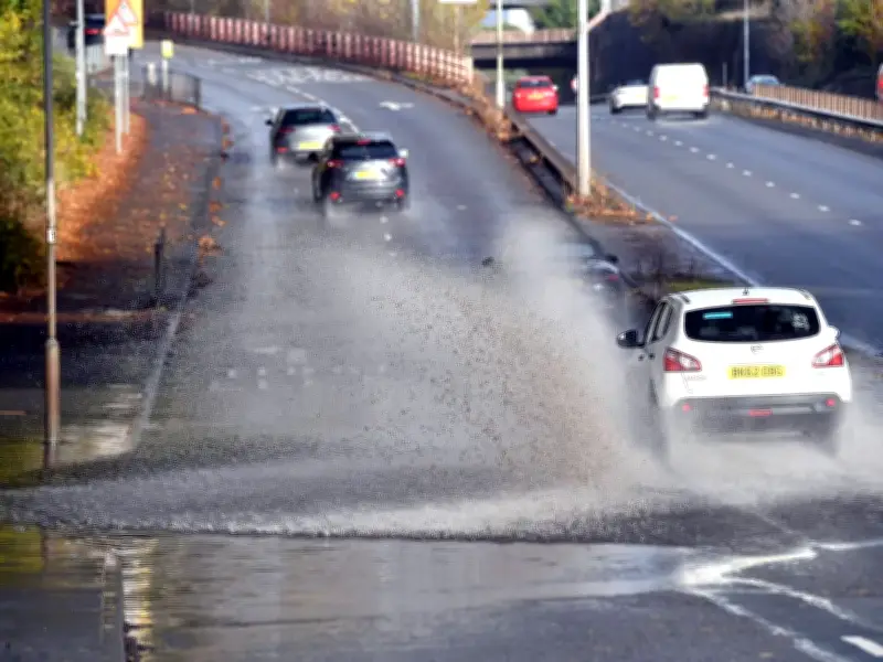
People in affected areas should expect poor driving conditions due to spray, standing water and hail, leading to longer journey times by car and bus. Delays to train services are also possible. The Met Office warns that some damage to buildings and structures from lightning strikes is probable, along with short-term loss of power and other services.
Some flooding of a few homes and businesses is possible, which could cause damage to buildings or structures. The Met Office notes that the summer heatwaves have left the ground hard and dry, making flooding more likely.

Affected areas in the North East
The warning covers a larger area than earlier this week. North East areas included are Darlington, Durham, Gateshead, Hartlepool, Middlesbrough, Newcastle upon Tyne, North Tyneside, Northumberland, Redcar and Cleveland, South Tyneside, Stockton-on-Tees and Sunderland.
The detailed warning states that showers, heavy and thundery, will reach southwest England and Wales later Sunday morning, before spreading and developing more widely during the afternoon. While some areas will miss the heaviest showers, where they do occur 10-15 mm of rain is possible in less than an hour, with 30-40 mm possible over several hours. These larger totals are most likely for parts of north and northwest England and southwest Scotland.
Additional hazards
Hail, frequent lightning and, in southern parts of England and Wales, wind gusts of 35-45 mph will be additional hazards. Heaviest showers and thunderstorms will become more isolated later in the evening. This follows a warning earlier this week for thunderstorms across some areas of the North East, though today's warning covers a much larger area.