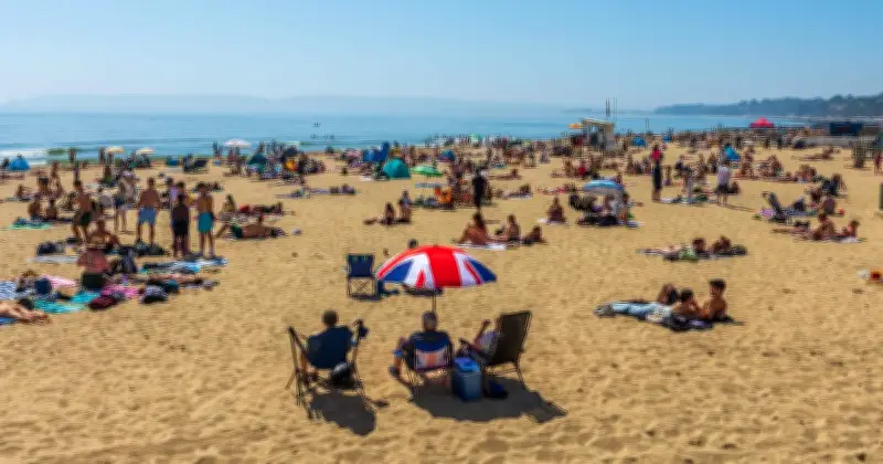
Britain could be in for a burst of warmer weather next weekend, with temperatures set to rocket to 28C in parts of the country. New weather maps have turned volcanic red across southern and eastern England as much warmer conditions sweep across the country on Sunday, September 6.
Warmth spreads across southern England
The maps, from WX Charts, show temperatures climbing into the high 20s, with London, the South East and East Anglia seeing some of the highest figures. The first map, valid for 12pm on Sunday, shows a large area of warmer weather stretching across southern England.
London is shown at around 27C, while temperatures are also in the mid to high 20s across parts of the South East and East Anglia. Cambridge is around 26C, while Oxford is also in the mid-20s. Further south, temperatures around Southampton, Portsmouth, Winchester, Chichester and Brighton are generally between 24C and 26C.

The maps show a clear difference further north, with much of northern England remaining in the high teens and low 20s. Scotland is cooler still, with many areas in the low to mid-teens.
Deeper red on the evening map
But the second WX Charts map, valid for 6pm on Sunday, turns an even deeper volcanic red across parts of southern and eastern England. Temperatures are shown reaching around 28C in London and parts of Essex, while a much wider area is covered by temperatures of 26C and 27C.
Chelmsford and Southend-on-Sea are among the hottest cities on the map at around 28C, alongside London. Colchester, Cambridge, Canterbury, St Albans, Oxford and Chichester are also among the warmest places, with temperatures around 27C.
The warmth stretches well into East Anglia, with Norwich and Peterborough both around 26C. Several cities along the south coast are also shown at around 26C.
Forecast outlook
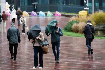
The Met Office long-range forecast for Friday, September 4 to Sunday, September 13 says: “Likely remaining unsettled with most areas seeing some showers or longer spells of rain at times, with the main focus for these across northern and western areas, the best of any longer dry spells across the southeast.”
“Potential for some strong and gusty winds at times, again the northwest more prone to these. Temperatures are likely to be near average, although some short-lived warm or very warm spells are possible, especially in the south.”

The 15 hottest cities on Sunday, September 6
- London - 28C
- Chelmsford - 28C
- Southend-on-Sea - 28C
- Colchester - 27C
- Cambridge - 27C
- Canterbury - 27C
- St Albans - 27C
- Oxford - 27C
- Chichester - 27C
- Winchester - 26C
- Norwich - 26C
- Brighton - 26C
- Portsmouth - 26C
- Southampton - 26C
- Peterborough - 26C