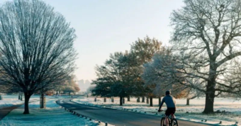
Areas across Britain could be set for a chilly start to the weekend with 10 counties expected to see temperatures fall below 6C on Saturday. Weather data produced by forecaster WXCharts.com shows some areas falling to as low as 4C, with Scotland set to bear the brunt of the coldest conditions.
Coldest conditions in Scotland
The weather maps show a cold morning on Saturday, with temperatures falling into the low single figures across parts of the Highlands and north-east. The coldest pockets are forecast across higher ground, where temperatures could plunge to around 4C, while much of northern England is expected to remain closer to 6C to 9C.
Conditions become progressively milder further south, with much of southern England staying around 9C to 11C and some coastal areas warmer still.

Met Office forecast
A Met Office forecast for Saturday warned of a cold start but predicted temperatures would rise throughout the day. It said: “Coastal showers will gradually ease, leaving most areas dry with sunny spells. Cloud will thicken across northern Scotland, bringing some light rain. Temperatures around average after a chilly start.”
Looking ahead from Sunday to Tuesday, it added: “Mostly dry with sunny spells, though cloud and a few showers may affect northern areas. Rain and thundery showers could develop in the south, spreading north later. Temperatures near average.”
Flooding risk amid rainfall
The forecast comes as the agency warned of the risk of flash flooding in parts of the UK affected by heavy showers as rainfall returns amid an ongoing drought. The north-west of England has seen the wettest conditions in the last 24 hours, with 52.5mm of rain falling over the seaside town of Morecambe in Lancashire, according to the Environment Agency (EA).
This represents a third of the region’s rainfall totals recorded over the period between June 1 and August 18 this year, which reached up to 156mm on average, the Met Office said. Significant showers also broke over southern parts of the country, with Pevensey Bay in East Sussex recording 32mm of rain over the last 24 hours.
“Most parts of the UK have seen at least a few splashes of rain, but many parts have seen a little bit more more than that,” Craig Snell, senior meteorologist at the Met Office, said. “Generally, it’s been a big change in the last 24 to 48 hours compared to what many parts of the UK have seen in the last couple of months.”
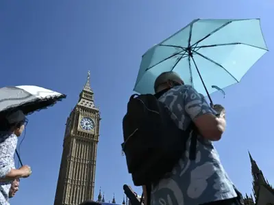
But the wetter conditions, which come after the UK’s fifth heatwave of the summer, also create a risk of flooding as heavy showers fall on baked dry ground, Mr Snell warned. “Unfortunately, some of these showers which have fallen have caused some impacts. Parts of the North West have seen some localised flooding, and also parts of the south coast of England over the last 24 hours or so. Part of that is down to the fact that the rain is falling on quite baked ground, so the water is not sinking in like it would usually do.”
Weekend outlook
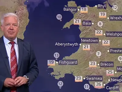
Drier and sunnier conditions are expected to return over the weekend, although temperatures will remain in the low 20s in the southern parts of the country, and in the high teens to low 20s in the north. “Tuesday onwards, we are likely to then see some further rain,” Mr Snell added. “Most, again, probably in the form of showers moving in from the South West.”
The 10 counties expected to see temperatures below 6C are Aberdeenshire, Angus, Argyll and Bute, Cumbria, Fife, Highland, Moray, Northumberland, Perth and Kinross, and Stirling.