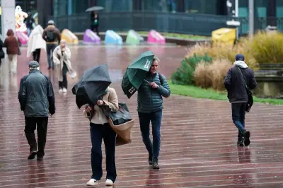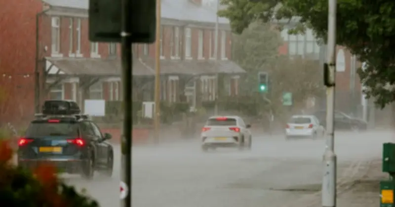
Weather maps indicate that 44 counties across the UK are set to face heavy rain in less than a week, as the summer's prolonged heat gives way to wetter conditions.
According to WXCharts forecasts, showery spells are expected to hit a large part of the UK on September 6 through to September 7. The maps show the nation covered in large blue, green and orange patches, indicating different precipitation levels.
Rainfall to reach 4mm per hour
For September 6, only a small part of the south east and east of England is expected to escape the wet weather. By 6pm on Sunday, the majority of the UK will experience wet conditions, with Scotland and the North of England facing the heaviest rain.

Highland, Moray, Aberdeen, and Perth & Kinross are among the areas in Scotland that will face significant downpours. In England, the areas with the highest precipitation levels include Northumberland, Greater Manchester, and all of Yorkshire. Levels are expected to hit 4mm of rain per hour, which is significantly heavy rain.
Met Office warns of unsettled spell
The map for the morning of Monday, September 7, still shows rainfall reaching those levels, but in fewer areas. A large part of the UK is expected to experience dry weather that morning, including Nottinghamshire, Lincolnshire, and Greater Manchester, where rain had fallen the evening before.
The Met Office long-range forecast also notes "unsettled" weather with "most areas seeing some showers or longer spells of rain at times" between September 4 and 13.
The heavy rainfall poses risks of flooding, power cuts, and travel disruptions.