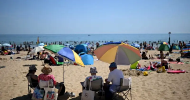
Weather maps indicate that temperatures of 25C are expected in parts of the UK in September, as hot days are not entirely finished despite the recent arrival of rain and cooler temperatures.
Summer 2026 has been exceptionally hot and dry, with droughts and extreme heat warnings declared at various points over the past few months. The recent cooler and wetter conditions provided relief for many across Britain, but current weather maps from England-based forecasting service WXCharts show temperatures in the mid-20s on Friday, September 4.
Hottest areas in the south and southeast
WXCharts' maps for Friday, September 4, show hot weather concentrated around the south and the southeast. Counties including Kent, Essex and Greater London appear to have the highest temperatures, while conditions are set to rise above 20C in many English regions from Devon up to the Midlands.

The hottest areas with temperatures above 20C on Friday, September 4, are: Kent, East Sussex, West Sussex, Greater London, Surrey, Hampshire, Berkshire, Wiltshire, Somerset, Dorset, Devon, Gloucestershire, Buckinghamshire, Oxfordshire, Bedfordshire, Hertfordshire, Essex, Suffolk, Norfolk, Cambridgeshire, Northamptonshire, Warwickshire, Worcestershire, West Midlands, Rutland, Leicestershire, Nottinghamshire and Lincolnshire.
Met Office outlook for early September
Temperatures throughout Wales and Northern Ireland are expected to be in the mid to high teens during the day, with similar conditions in the south of Scotland and much cooler weather in the north of the country.
The Met Office's current forecast for the 10-day period from September 1 indicates spells of warm weather with temperatures above average, especially in the south, with temperatures expected to remain near-average in between these bursts of hot weather.
For the first 10 days of September, conditions will likely remain unsettled with showers or longer spells of rain across all areas at times. "Rainfall amounts will probably be above average for the time [of] year across many areas, with the wettest conditions in the northwest," the forecast reads. "Potential for some strong winds at times."
"Some drier and more settled interludes could develop, perhaps becoming longer in duration across southern areas later in this period. Temperatures are likely to be near average, although some short-lived warm or very warm spells are possible, especially in the south."
Signals are "fairly limited" for the days and weeks after that period, but the Met Office says there will probably be a "continuation of a changeable regime" with the wettest conditions in the northwest and longer drier interludes in the southeast.
"However, the distribution of rainfall soon becomes very unclear, though compared to earlier in the month, there is a greater chance of more prolonged settled/dry spells," it says. "Temperatures likely varying around average with some warm spells likely, especially in the south."