The UK is set to experience a sharp October chill next week, with temperatures possibly dropping to as low as -1C before wetter weather moves in, according to the latest WXCharts forecast.
The temperature anomaly map shows a pool of colder-than-normal air spreading across the UK by Thursday, October 8. The coldest air will be near the western parts of the country and Ireland.
Overnight Temperatures to Tumble
At ground level, temperatures are also forecast to tumble overnight. A map showing minimum temperatures at 6am on October 8 puts parts of the Scottish Highlands at around -1C, with temperatures close to freezing across other parts of northern Scotland.
Northern England could fall to around 3C to 6C, while lows of roughly 5C to 8C are shown across Wales and the Midlands. Southern England is generally forecast to remain slightly milder at around 6C to 9C.
Wetter Conditions on the Way
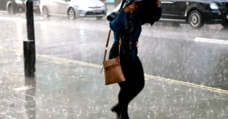
Wetter conditions are then shown spreading across Britain. An ECMWF map for Friday, October 9 shows widespread rain and showers, with some of the heavier bursts concentrated across Scotland and northern and central England.
The Met Office's long-range forecast says a band of cloud and patchy rain is expected to move south before high pressure brings mostly dry and fresher conditions, with "some chilly nights possible".
Mid-October Outlook
More changeable weather is expected into mid-October, with rain and strong winds mainly affecting the northwest and generally drier conditions in the south, the Met Office adds. Overall temperatures are still expected to be close to or above average, with some unseasonably warm weather possible in southern areas.
The 10 coldest regions listed are: Scottish Highlands, Grampian, Tayside, Strathclyde, North East England, North West England, Northern Ireland, Yorkshire, Wales, and West Midlands.