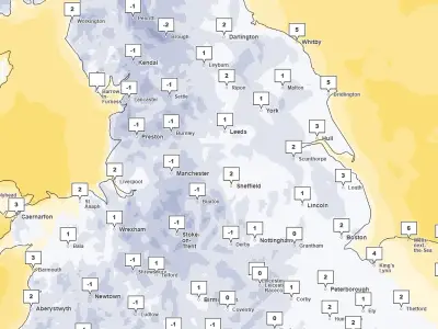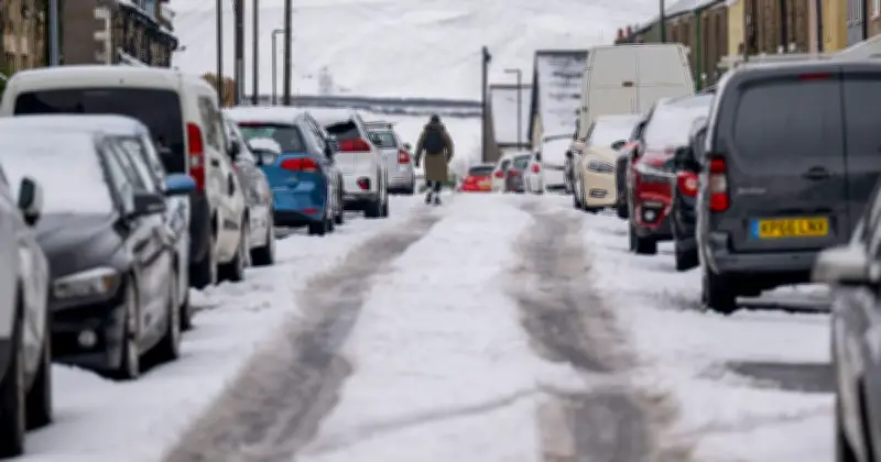
A yellow Met Office weather warning for snow will come into effect at midnight on Tuesday and remain in place until 11am. The warning covers a large area stretching from the West Midlands to southern Scotland.
Forecasters warn that some locations above 300-400 metres could see snow depths reach 5-15cm, although 1-5cm are forecast more widely. Snowfall at locations lower than 100 metres is likely to be temporary and melt quickly, the Met Office added.
Travel disruption and icy patches
The Met Office has warned of travel disruption on higher-level routes, and icy patches may form on some roads and pavements.
Ahead of the snow, the forecaster has advised motorists to ensure they have nine essentials in their car in the event of any delays.
Nine essential items for motorists
These items are: warm clothing, food, water, a blanket, a torch, an ice scraper or de-icer, a warning triangle, a high-visibility vest and an in-phone car charger.
The UK Health Security Agency (UKHSA) has also issued a yellow cold health alert for the North West, North East, and Yorkshire and the Humber. These alerts will be in place from 9pm on Sunday until 9am on Thursday.
Coldest night of the season so far
Last night was the coldest of the season so far, with temperatures dropping to -7.7C at Tulloch Bridge in Scotland. The Met Office has warned that even colder conditions could be on the way, with Friday night potentially bringing the lowest temperatures of the week.
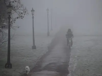
Unsettled weather will continue into Tuesday and Wednesday, with rain affecting central and northern parts of the UK, while the south is forecast to have heavy and blustery showers, with the potential for hail and thunderstorms. Fog is also possible in Northern Ireland on Wednesday morning and across parts of England and Wales on Thursday morning.