
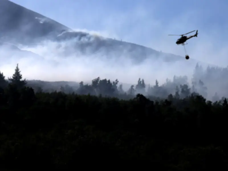
The UK is set to experience a fourth heatwave next week, raising the risk of severe wildfires. After a brief cooldown over the weekend, temperatures will climb again, particularly in southern England, where highs of 32°C or 33°C are possible. Some areas may breach the heatwave threshold on Thursday.
North-south split expected
Forecasters predict a 'north-south split', with clouds and rain persisting in Northern Ireland, Scotland and northern England. However, the peak will be short-lived, with temperatures cooling close to average by the weekend, according to Dan Stroud, a senior operational meteorologist at the Met Office.
Wildfire risk elevated
“In terms of wildfire, obviously the continuation of the dry and hot conditions does elevate the fire risk,” Mr Stroud said. “That rain we’ve had, even though it’s welcome rain for the last last few hours, is certainly not enough really to do a huge amount for the dry conditions we’ve already already got. That risk continues.”
According to Met Office data used by Natural England and Natural Resources Wales, wildfires are likely to become exceptionally severe on Sunday in pockets of east, south-east and the south of England. That risk level then disappears before returning on Wednesday for a wider area, focusing on the east and south-east on Thursday.
Ongoing wildfire incidents
This month, firefighters have been battling a huge moor fire near Tintwistle, where a major incident was declared on July 12 after the blaze started on July 9. Greater Manchester Fire and Rescue Service has also tackled a wildfire near Dovestone and Swineshaw reservoirs. The area affected by both fires is equivalent to around 1,250 football pitches, with firefighters drafted in from across the country.
July was 3°C above average across the UK, according to provisional Met Office data. Mr Stroud noted this could put it among the hottest three or four Julys on record.




