The record-breaking 2026 El Niño could bring cold snaps and snow to Scotland this winter, with forecasters warning of wetter and stormier conditions across the UK. The weather phenomenon, described by experts as the "strongest event" on record, is expected to continue until February 2027.
Record-breaking El Niño
According to NASA, the 2026 El Niño started in June 2026 and has continued to grow over the last few months. Now reaching record-breaking levels, meteorologists have predicted that the weather phenomenon will continue until February 2027.
Expected to reach its peak this winter, the Met Office has stated that this will bring an increased likelihood of wetter and stormier weather to the UK during autumn and early winter. Additionally, the El Niño is often associated with an increased risk of cold snaps during the winter months.
Unprecedented event
With the current El Niño being branded as "unprecedented", the impact of this phenomenon is expected to be more significant than ever. With wild, wet and freezing conditions potentially around the corner, many Scots are wondering when the white stuff will make a chilly return.
Speaking about the significance of this El Niño, Professor Adama Scaife said: "We have been signalling for months that the developing El Niño will be an unprecedented event. The fact that it has already exceeded previous records – with several weeks to go before it peaks later this year – shows the enormity of this El Niño.
"Scientists are still assessing whether the impacts will be in proportion to its magnitude, but we are already seeing expected effects worldwide."
Polar vortex disruption
Forecasters have warned that the El Niño could disrupt a large, high-altitude ring of cold winds above the Arctic, known as the stratospheric polar vortex. This could result in a weakened jet stream, which would send freezing Arctic air towards Europe and North America.
However, while the 2026 El Niño has been described as "far-reaching", forecasters have warned that it is too early to tell if freezing Arctic air is heading our way this autumn, reports the Independent. The Met Office has said that "it was too far away to give any forecast information." This is due to the El Niño only being one factor that has an impact on the UK's weather. However, they did not dispute that it will bring more unsettled weather in the coming months.
Climate impacts already visible
An El Niño is a naturally occurring phenomenon that develops in the Pacific Ocean. Causing the sea-surface temperature to rise significantly warmer than average, this can have an impact on the weather across the globe.
Impacts from the climate event have already begun as Scotland has seen over a third more rain than its average for September. By contrast, the majority of England suffered through a drought over the summer months.
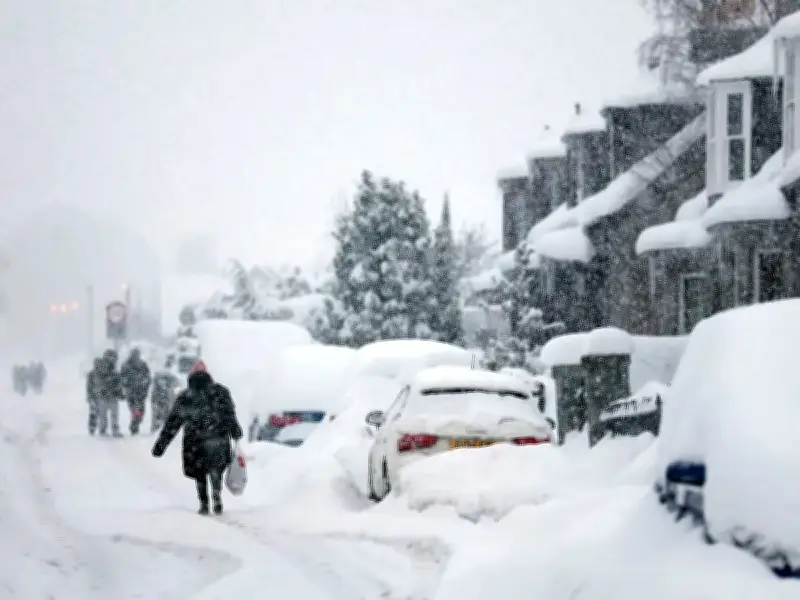
If a cold snap does hit the UK as a result of the El Niño, with the possibility of bringing heavy snowfall to the UK's already predicted stormy conditions, experts believe this is more likely to occur later on in winter. As such, Scots will want to get their warmer jacket out for the autumn months as daily highs drop back down into the low teens. However, forecasters expect that we have a little while to go before temperatures fall into single digits.
Scaife added: "I have never seen an El Niño signal this intense in our forecasts. A typical El Niño leads to an equatorial Pacific sea-surface temperature rise of between 1-2 degrees, with 2C being a really big event.
"This implies that if the forecast is accurate - and other forecast systems show similar extreme values - then 2026 will far exceed our recent experience of El Niño and its worldwide climate influences."