
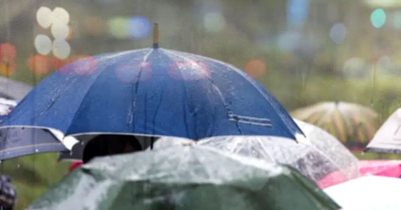
Britons will want to make the most of the current heatwave while it lasts, as brutal weather maps reveal when the scorching spell is set to come to an end with heavy downpours forecast. Meteorologists forecast temperatures to soar to 36C in parts of East Anglia and south-east England by Thursday.
Heat alerts and scorching temperatures
The Met Office has issued amber extreme heat alerts for 37 areas on Thursday, spanning 15 hours and beginning at 9am. The alerts warn temperatures of 37C or even 38C be reached in the southeast, east and Midlands. Forecasters said heat would start to develop from Tuesday with a 30C forecast and then intensify on Thursday or Friday.
However, in just over a week's time, the glorious sunshine will abruptly end for 27 UK areas.
Rain and temperature plunge forecast
WXCHARTS weather maps for August 21 have turned blue, yellow, orange and green indicating that severe downpours are on the way, with the mercury forecast to plunge to single digits. There will be a somewhat weather forecast divide as the rain looks to be concentrated in the north and west with scattered showers elsewhere.
At midday, the Scottish Highlands, Cumbria and Cheshire look set to receive the brunt of the weather as up to 6.5mm of rain could fall in these areas per hour. Central and southern Scotland will also see heavy rain with up to 4mm predicted per hour. Yorkshire and the Humber will receive around the same amount of rainfall.
Elsewhere, Wales is barely visible in the weather maps, the worst hit areas could see 6mm of rain per hour but 0.8mm is forecast more widely. Devon, Cornwall and the Midlands will all see scattered showers. London and the south west will remain largely unaffected.
Chilly mornings and Met Office outlook
Temperatures are also set to take a dramatic nosedive, with parts of the Scottish Highlands plunging lows of just 5C at 6am. The rest of Scotland will wake up to similarly chilly conditions, with temperatures hovering between lows of 6C and 9C.
London and the South West will fare better, with temperatures reaching a minimum of 13C to 14C – but that will still be a far cry from the current 30C heat. The rest of England and Wales will see the temperatures hover between a modest 9C-12C.
Separately, The Met Office's weather outlook for August 16-25 reads: "Mainly dry at first Sunday, then through the day and into the start of the following week Atlantic frontal systems will probably approach or move across the UK."
"These will bring some rain in places, perhaps heavy at times. Temperatures will likely be near normal or slightly above. Later in the period, high pressure will probably have more of an influence with drier conditions developing for many."
"Some rain is still possible at times, particularly in the north, together with a risk of thunderstorms in the south. Temperatures will likely be above normal."
Areas forecast rain
The 27 UK areas forecast rain are: Scotland (Scottish Highlands, Perth and Kinross, Stirling, Argyll and Bute, Aberdeenshire, Lanarkshire, Dumfries and Galloway), England (Cumbria, Northumberland, Durham, Lancashire, Leeds, Cheshire, Derbyshire, Cornwall, Devon, Warwickshire), and Wales (Gwynedd, Conwy, Cardiff, Powys, Pembrokeshire, Ceredigion, Wrexham, Carmarthenshire).




