The Met Office has warned that temperatures will rise again, with the next heatwave potentially hitting the UK around July 8, bringing highs of up to 37C. This follows three consecutive days of record-breaking temperatures in June, culminating in 37.3C on Friday.
Record-Breaking June Heat
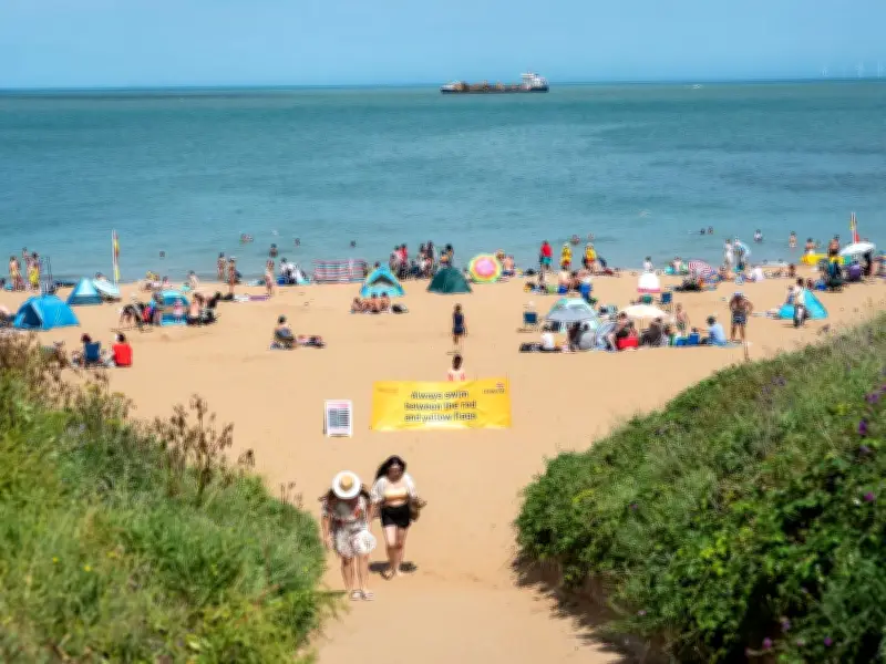
Temperature records for June were broken on three consecutive days last week, with the mercury reaching 37.3C on Friday. Much of England and Wales were covered by red or amber extreme heat warnings, prompting the Met Office to urge precautionary measures. After a brief respite on Sunday, with temperatures returning to normal ranges, more scorching days are expected.
Forecast for July 8 Heatwave
Advanced weather modelling maps from wxcharts.com indicate that London and surrounding areas could see up to 37C on July 8. The South East, South West, East of England, the Midlands, Yorkshire and the Humber, and North West will also experience temperatures between 30C and 36C. The mercury will start rising again on Sunday, July 5, when London is expected to exceed 30C, gradually increasing across England and Wales, peaking on the evening of July 8.

According to wxcharts.com, temperatures will remain above 30C in London and surrounding areas until July 11, before returning to sub-30C values.
Met Office Outlook for July 4-13
Giving an outlook for July 4 to July 13, the Met Office said: "High pressure will dominate across England and Wales over the weekend, bringing dry and warm conditions with plenty of sunshine for most. Scotland and Northern Ireland will probably see more cloud this weekend, with periods of rain mainly affecting western Scotland at times."
"Into the following working week, high pressure remains slow moving over England and Wales, perhaps extending northwards to bring drier and warmer weather to Scotland and Northern Ireland. Winds will be light to moderate for most, though stronger around northern hills and coasts near low pressure systems. Temperatures will rise through the period, perhaps becoming very warm or hot in places."
Extended Forecast to End of July
Similar conditions are expected for the rest of the month. For the period between July 13 and July 27, the Met Office stated: "High pressure is more likely than low pressure at the start of this period, bringing a greater chance of settled and drier conditions. Occasionally this dry and warm weather could be interrupted by outbreaks of rain with stronger winds, this most likely further north if this occurs. As is typical for the time of year, there remains a risk of heavy, thundery showers during any warm spells."
"Towards the end of July there is a slight preference for a continuation of high pressure to dominate, however confidence at this range is naturally low. In any case, temperatures are likely to be above average overall, with a greater than normal chance of hot conditions developing at times."