The Met Office is warning that the UK faces wetter, stormier conditions this autumn and winter as El Nino weather conditions of unprecedented strength develop in the Pacific Ocean. The forecaster says these conditions have never been seen before and will cause major challenges across the world, with 2027 potentially the hottest year in recorded history.
Long-range forecasts show sea surface temperatures in the Pacific more than 3C above normal in the coming months, a level never recorded before.
Unprecedented event
“We should be clear that this is an unprecedented event,” said Professor Adam Scaife, Head of Long Range Forecasting at the Met Office. He added: “I have never seen an El Niño signal this intense in our forecasts. A typical El Niño leads to an equatorial Pacific sea-surface temperature rise of between 1-2 degrees, with 2oC being a really big event. This implies that if the forecast is accurate - and other forecast systems show similar extreme values - then 2026 will far exceed our recent experience of El Niño and its worldwide climate influences.”

Several regions across the world are at risk of low rainfall, including India, Central America and the west Pacific, while parts of Australia and Africa are at risk of drought. For the UK, it increases the chances of wetter, stormier conditions and is likely to make 2027 even hotter than this year.
Global temperature rise
Dr Nick Dunstone said: “During large El Niño events significantly more heat is released from the ocean to the atmosphere leading to an increase in global average temperature, particularly in the calendar year following the winter peak of the El Niño. Hence, 2027 is very likely to replace 2024 as the warmest year on record and be another year to temporarily exceed +1.5 C above the preindustrial period.”
Professor Stephen Belcher, the Met Office’s Chief of Science and Technology, said: “This summer we have experienced heat waves across Europe reminding us of the effects of climate change, this large El Niño is a reminder that natural variations in the climate system are also at play, adding to the stresses of climate change.”
Wales drought and El Nino mechanics
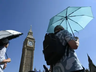
This comes after one of the warmest summers on record in Wales, with five heatwaves hitting the region. The unprecedented string of heatwaves and lack of rainfall in recent months brought the driest July in 190 years and pushed almost three-quarters (71.3%) of England and all of Wales into drought, putting severe pressure on the water system, wildlife, farmers, emergency services and infrastructure.
The Met Office explains how El Nino works: “Normally the equatorial Pacific Ocean has a pool of relatively warm water in the upper ocean in the west and a shallower layer of relatively cool water in the east, maintained by and in balance with easterly surface winds. The well-mixed upper ocean layer (a few tens of metres deep) lies above a thin 'thermocline' layer, with cold water below. An El Niño event can start in several ways, usually with the sea surface temperature raised slightly in the central/east Pacific. This may be, for example, through the action of 'westerly windbursts' (short-lived storm-like events in the Western Pacific) that disturb the 'balance' maintained by easterly winds, or through slow evolution of the ocean thermocline as a consequence of a previous event. The increased sea surface temperature influences the atmospheric winds, which in turn influence the upper ocean and the thermocline such that the sea surface temperature is increased further - a positive feedback. When conditions are favourable, this feedback generates an El Niño event.”