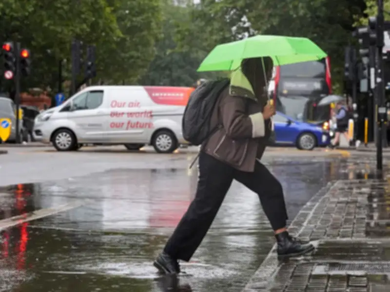
The Met Office has issued warnings that torrential rain will batter the UK this week, with two massive regions set to bear the brunt of the deluge. There's also the threat of thunderstorms and localised flooding as conditions deteriorate dramatically over the next few days.
Britain has enjoyed multiple blistering heatwaves throughout this summer, with the mercury occasionally climbing beyond 35C. The sweltering conditions and severe shortage of rainfall has resulted in drought declarations and hosepipe restrictions being enforced across numerous areas of the country. Yet in recent days, precipitation has begun to arrive and temperatures have dropped. Now, the Met Office is cautioning that a "change is on the way" with this week's conditions.
Low pressure from southern Europe
Met Office Meteorologist Annie Shuttleworth explained that the situation is set to become more turbulent, with a low-pressure system from southern Europe moving northwards, intensifying as it approaches the UK on Tuesday and Wednesday. This will trigger the onset of rainfall, which may become intense across western and southern regions, while the danger of thunderstorms and localised flooding remains possible, reports the Express.

Ms Shuttleworth stated in her most recent weather bulletin: "There is a change on the way throughout next week for the last week of August - it is likely to turn more unsettled.
"We have an area of low pressure down south in the Bay of Biscay that will push up towards the UK and as we get towards Monday and Tuesday, the jet stream starts to fire up, scooping up this area of low pressure and that will deepen it as it approaches the UK through Tuesday and Wednesday.
Wet days ahead
"With low pressure arriving, that means rain will start to arrive as well from the south and west.
"It's likely to be quite a wet day through Tuesday and Wednesday, particularly across western and southern areas of the UK.
"We'll also see a risk of thunderstorms with this rainfall, and we could see quite a lot of rainfall falling in quite a short period of time.
"There could be some impacts from this rainfall if we do see localised surface water flooding due to that."
The latest Met Office weather forecast for Tuesday until Thursday says: "Turning more unsettled from Tuesday with showers, thunderstorms and longer spells of rain moving northwards.
"Temperatures continuing to rise slightly. Showers becoming increasing widespread and heavy on Wednesday and Thursday."