The Met Office has indicated a risk of thunder for Merseyside as the region heads into the bank holiday weekend and beyond, with September not expected to reach the temperatures of previous months.
Parts of the UK remain under a yellow weather warning for thunderstorms today, Saturday August 29. The warning stretches from south-west England and parts of Wales across the Midlands to the east of England, and will be in force from midday until 9pm on Saturday.
It comes after continued hot weather across the UK, which coincided with extremely dry conditions. The Met Office has previously said the UK is on course for its hottest summer on record after five heatwaves, with temperatures of up to 38.1C recorded in London.

Wet conditions continue in Merseyside
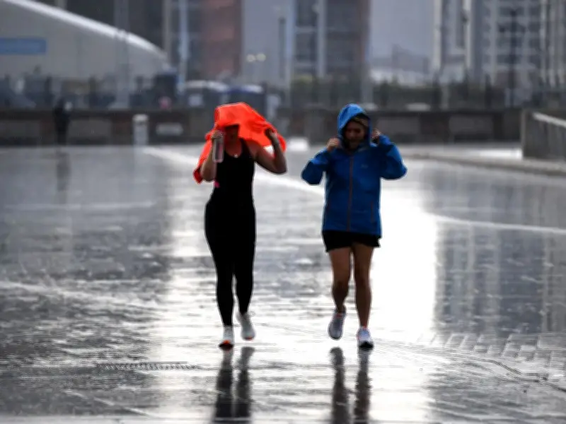
Merseyside is no longer under a weather warning but the wet conditions have continued into the bank holiday weekend. In BBC Weather's latest forecast for Merseyside for the rest of today and through to this evening, it said: "Turning unsettled in the afternoon with outbreaks of rain moving in, falling heavy at times."
The first half of tonight will see cloudy skies and rain easing to just a few light showers. However, during the early hours, further spells of heavy rain will push in from the west.
Tomorrow, Sunday August 30, will be another miserable day. BBC Weather said: "An unsettled day tomorrow with heavy showers for much of the day, bringing a risk of thunder. Some sunny spells between showers."
Looking ahead to next week
Looking ahead to next week and the start of September, the forecaster added: "Monday will see a mixture of sunny spells, patchy cloud, and blustery showers."
"Tuesday looks to see a band of rain move in from the west in the morning before turning drier and sunnier in the afternoon. Less breezy later on Tuesday. Wet and windy on Wednesday as blustery rain spreads up from the south-west in the early morning, followed by some showers and sunny spells."
Further detail of the September forecast has been shared by the Met Office. It said: "Likely remaining unsettled with most areas seeing some showers or longer spells of rain at times, with the main focus for these across northern and western areas. Potential for some strong and gusty winds at times."
September temperatures near average
"Some drier and more settled interludes could develop, perhaps becoming longer in duration across southern areas later in this period. Temperatures are likely to be near average, although some short-lived warm or very warm spells are possible, especially in the south."
While the first week of September is expected to be wetter than the exceptionally dry conditions many areas have experienced recently, it is not currently looking like a completely wet period. The forecast suggests rainfall totals may end up above average, particularly across northern and western areas, but there should still be opportunities for drier weather and occasional brighter spells.
Temperatures throughout next week are expected to settle back towards seasonal norms. The exceptional heat of summer appears to be ending, with conditions becoming more typical of early autumn.