
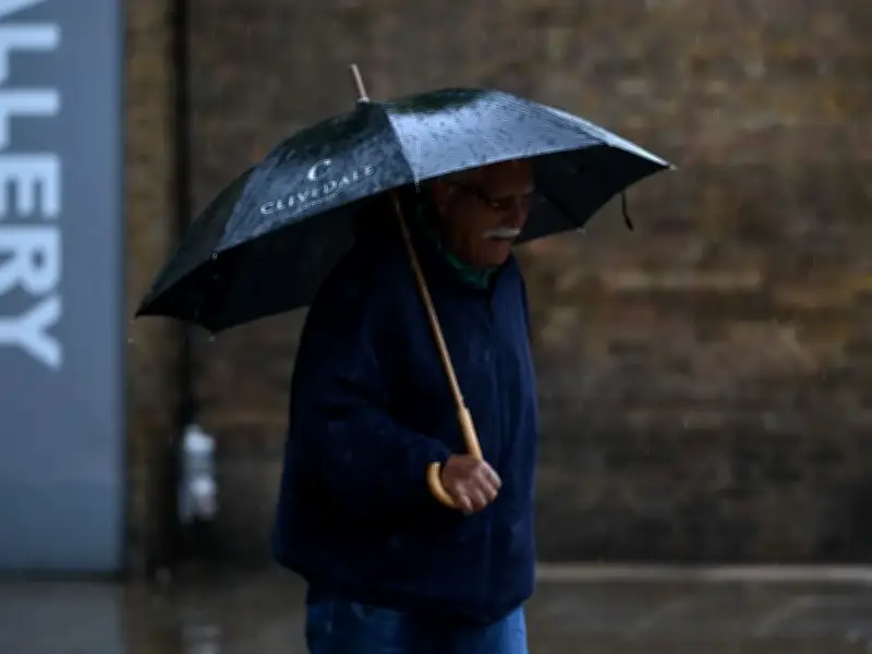
The Met Office has warned that heavy showers will hit many parts of the UK on Wednesday and Thursday, with weather maps showing 36 areas on alert for downpours.
Weather fronts coming in from the Atlantic will bring rain, heaviest through midweek, with up to 30mm per hour falling at times. Met Office Meteorologist Tom Morgan said: "Certainly a more changeable outlook as we go through the next few days, the chances of some heavy showers quite widely particularly on Wednesday and Thursday."
He added: "There is at least some good news for the drought affected areas of England and Wales over the week ahead. There is some welcome rain for many of us."
Rain moving east
There will be more scattered rain on Monday and Tuesday before a low pressure system moves over the UK on Wednesday, bringing more significant showers, mainly to western parts in the evening. The heaviest downpours will be in eastern Scotland, Cumbria, and across Wales, but by the early hours of Thursday they will move through central and northern England as well as the south west.
The band of bad weather then continues moving in a southerly and easterly direction, but the rain becomes lighter, with only sporadic showers possible by mid morning.
Cooler and unsettled
Mr Morgan said: "Low pressure moving in and covering the country midweek. And then for Wednesday and Thursday we see the winds gradually switch to a more northerly direction so it is set to turn quite a bit cooler and unsettled."
"Some heavy showers or thunderstorms around for many parts of the UK probably by Thursday and as I say some welcome rain on the way for the southern areas of the UK which really desperately need it."
The Met Office long range forecast for Tuesday to Thursday says: "Rain gradually clearing to the south throughout Tuesday introducing fresher conditions. Largely dry in the south Wednesday, otherwise a mix of sunshine and showers. Showers becoming more widespread Thursday."
Unsettled outlook
For the end of the month, the outlook remains unsettled with more cooler weather and rain. The national weather agency states for August 21 to 30: "A rather changeable period is likely, with many parts of the UK seeing showers or perhaps some longer spells of rain. However, there will be some drier interludes as high pressure moves across the UK at times."
There is also a chance that deeper Atlantic lows could lead to periods of widespread rain and strong winds at times, while some outbreaks of thunderstorms are also possible. Temperatures are more likely to be above normal than below overall, though the possibility of widespread or exceptional heat is lower than in recent weeks.




