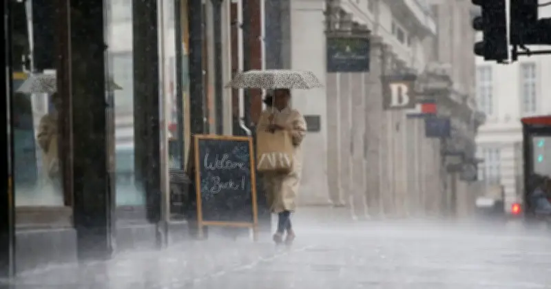
The Met Office has warned that heavy rain will sweep across large parts of the UK this week, with western and southern areas expected to see the worst of the downpours. There is also a risk of thunderstorms and localised flooding as conditions turn more unsettled.
Change from heatwave to rain
Britain has experienced several heatwaves this summer, with temperatures occasionally exceeding 35C. The hot, dry weather led to drought declarations and hosepipe bans in several parts of the country. In recent days, however, rain has begun to fall and temperatures have cooled.
Met Office Meteorologist Annie Shuttleworth said conditions are likely to turn more unsettled, with an area of low pressure from southern Europe pushing northwards and deepening as it approaches the UK on Tuesday and Wednesday.

Forecast details
Ms Shuttleworth said in her latest weather forecast: "There is a change on the way throughout next week for the last week of August - it is likely to turn more unsettled." She explained that an area of low pressure in the Bay of Biscay will push towards the UK, with the jet stream deepening it as it approaches.
"It's likely to be quite a wet day through Tuesday and Wednesday, particularly across western and southern areas of the UK," she said. "We'll also see a risk of thunderstorms with this rainfall, and we could see quite a lot of rainfall falling in quite a short period of time."
Potential impacts
Ms Shuttleworth added: "There could be some impacts from this rainfall if we do see localised surface water flooding due to that." The latest Met Office forecast for Tuesday to Thursday says: "Turning more unsettled from Tuesday with showers, thunderstorms and longer spells of rain moving northwards. Temperatures continuing to rise slightly. Showers becoming increasing widespread and heavy on Wednesday and Thursday."