The Met Office has issued a fresh update on the coming winter, warning that a significant El Niño could weaken the stratospheric polar vortex and increase the potential for UK cold snaps.
El Niño is expected to develop strongly towards the end of 2026, with some forecasts suggesting it could be the most powerful event ever recorded. According to an article published by the US government's NOAA Chemical Sciences Laboratory, El Niño "tends to promote the breakdown of the polar vortex, especially in late winter."
What El Niño means for UK weather
The Met Office describes El Niño as a naturally occurring climate phenomenon that originates in the tropical Pacific Ocean. It takes hold when sea-surface temperatures across the central and eastern equatorial Pacific rise considerably above average. These shifts disrupt atmospheric circulation patterns and can have a knock-on effect on weather conditions across the globe.
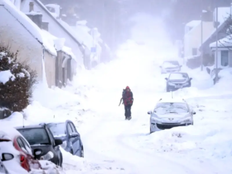
While El Niño is just one of numerous factors shaping the UK's weather, its increasing influence could heighten the likelihood of a more turbulent period over the coming months. Later in the season, El Niño is linked to a greater risk of cold snaps, the Met Office warned.
Sudden Stratospheric Warming risk
A Met Office spokesperson said: "Through the latter part of the winter, following a peak in El Niño, the stratospheric Polar Vortex can become weaker, leading to an increased chance of Sudden Stratospheric Warming (SSW) events unfurling, increasing the potential for cold weather."
SSW relates to warming occurring between 10km and 50km above the Earth's surface. It can trigger cold air to plunge downwards, affecting the jet stream and potentially establishing a "blocking pattern." This could result in cold conditions persisting for the remainder of the year.
Forecasters weigh odds
Dr Will Lang, chief forecaster at the Met Office, said it was a "subtle shift in the odds" that El Niño would cause havoc in the coming weeks, rather than a certainty. He said: "We are going in with a heightened potential for wet weather, heightened potential for potentially stormy conditions, and that leads through to a heightened potential for flooding."
This follows the UK experiencing its hottest summer on record, with five heatwaves occurring between May and August which resulted in drought and ignited wildfires. Britain is now braced for unsettled weather over the coming months with an increased likelihood of wetter and windier than average conditions as well.
Professor Adam Scaife, Head of Long Range Prediction at the Met Office, said El Niño will be an "unprecedented event." He added: "We have been signalling for months that the developing El Niño will be an unprecedented event. The fact that it has already exceeded previous records - with several weeks to go before it peaks later this year - shows the enormity of this El Niño. Scientists are still assessing whether the impacts will be in proportion to its magnitude, but we are already seeing expected effects worldwide."