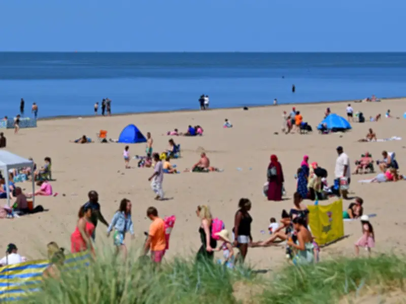
The Met Office has issued its verdict on the weather expected later in June and into July, with much of the UK set to turn "very warm." Meteorological experts have released long-range forecasts for the period from Sunday, June 14, through to Wednesday, July 8. While local predictions are not provided this far in advance, the Met Office has shared what the UK as a whole may anticipate as the weeks progress. For those who enjoy warmer temperatures, this could be welcome news.
Initial Outlook: Fine and Dry
Much of the UK is expected to experience "fine and dry" conditions for the first few days from June 14, with sunshine for most areas. The Met Office forecast states: "Temperatures are likely to be above normal and parts of the south could be very warm for a time."
Mid-Week Changes
Looking further ahead to the "middle of next week," there may be "outbreaks of rain in the north and northwest, some of which could spread to parts of the south and southeast at times." After this, and through to Tuesday, June 23, "high pressure will probably become more dominant with conditions turning widely dry and settled, and probably very warm for many."

Extended Forecast: Late June to Early July
For the period between Wednesday, June 24, and Wednesday, July 8, initial expectations are for "settled and mainly dry conditions" due to high pressure. The forecast continues: "Temperatures will likely be above normal, with potential for hot conditions to develop, especially in the south."
Potential Thunderstorms in July
As July begins, weakening of the high pressure may bring an increasing chance of more unsettled weather and thunderstorms, particularly in the south. The Met Office advises that while the overall trend is warm, there could be some disruptions later in the period.