
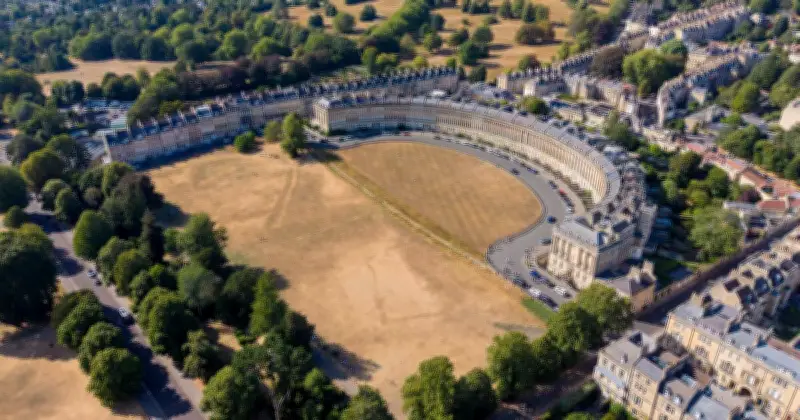
The Met Office has issued its long-range forecast for August 15-24, indicating that rain is finally due across the UK after widespread drought conditions this summer.
Initial North-South Split
Starting on Saturday, August 15, northern regions will see sunny spells and showers, while the south remains mostly dry after a severe heatwave and drought.
Approaching Atlantic Systems
Through Sunday 16 and into early the following week, incoming Atlantic frontal systems are expected to bring widespread, potentially heavy rain across parts of the UK.
Tentative End to the Heatwave
While temperatures will start near or slightly above average, tentative signs suggest these weather fronts around August 18 or 19 could help break the recent prolonged heatwave.
Return of High Pressure
Later in the forecast period, high pressure is expected to regain influence, bringing drier conditions back to many parts of the country, along with a notable drop in temperatures from earlier extreme highs.
Late-Period Rain and Thunder Risk
Despite building high pressure that could bring drier conditions for many, occasional rain remains possible — particularly in the North — while southern areas face a potential risk of thunderstorms developing as overall temperatures stay above normal.




