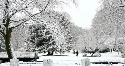
The Met Office has issued a yellow weather warning for snow affecting 18 areas across the UK, with travel disruption expected on Tuesday morning. The warning is in effect from midnight until 11am, covering parts of southern Scotland and northern and central England, and has been updated to reduce both the area covered and the duration.
Snow Warning Details and Affected Areas
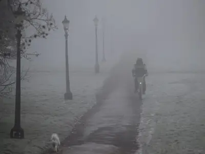
Commuters are warned that snow could cause disruption on roads and railways, leading to longer journey times, while power cuts and loss of mobile phone service are also possible. Drivers have been urged to keep essentials, including food, water and blankets, in their cars in case they become stranded.
The affected areas include Derbyshire, Durham, Northumberland, Blackburn with Darwen, Cheshire East, Cumbria, Greater Manchester, Lancashire, East Ayrshire, South Ayrshire, South Lanarkshire, Dumfries and Galloway, Midlothian Council, Scottish Borders, Staffordshire, North Yorkshire, South Yorkshire and West Yorkshire.
Expert Advice for Drivers
Rod Dennis, Motoring Expert at RAC, told the Mirror that even a thin layer of snow or ice could pose a major risk to drivers, creating hazardous conditions that increase the chances of a breakdown or accident. "Don't drive unless you're prepared," Dennis said.
"The weather can change very quickly. Think about the trip you're making, make sure your car is up to the job and that you feel confident enough driving."
Breakdown spokesperson Harriet Hernando added: "Snow and ice will descend on some parts of southern Scotland and northern and central England from overnight Monday and into Tuesday. This is likely to catch many motorists out, so we're urging them to get prepared now."
"In snowy and icy conditions, it's best to stick to major roads, rather than rural areas where surfaces may not be gritted, reduce speeds and leave plenty of space behind the vehicle in front to ensure you have more time to stop."
"Everyone should travel prepared in case they find themselves broken down at the side of the road: a blanket, warm waterproof coat and gloves, sturdy footwear and a charging cable and mobile power bank with a phone to be able to call for assistance."
Forecast and Health Alert
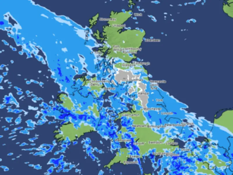
A band of rain is expected to head northwards across the UK through Monday night and Tuesday morning, before turning into snow as it encounters colder air. This will mainly affect locations on higher ground, at 100-200m altitude or more, the Met Office said.
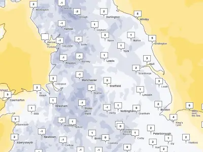
Where snow does accumulate, 1-5cm are likely, but some locations above 300-400m could see between 5-15cm, or 2-6 inches. Temperatures are also expected to plunge, with lows of -1C forecast in Scotland and areas in the warning averaging between 1C and 5C.
The UK Health Security Agency has issued a yellow cold-health alert for the North West, North East and Yorkshire and the Humber, which is in place until Thursday morning.
According to the Met Office's warning, travel disruption will be focused on "higher level routes", which in combination with a strong easterly wind "could also cause localised drifting". It adds: "Some accretion of ice onto infrastructure such as power lines is also a possibility. Snow will gradually turn back to rain both from the south and through the morning on Tuesday, perhaps resulting in some minor disruption from surface water."
The forecaster has advised drivers to keep several items in their cars while the warning is in effect, including warm clothing, food, water, a blanket, a torch, ice scraper/de-icer, a warning triangle, high visibility vest and an in-car phone charger.