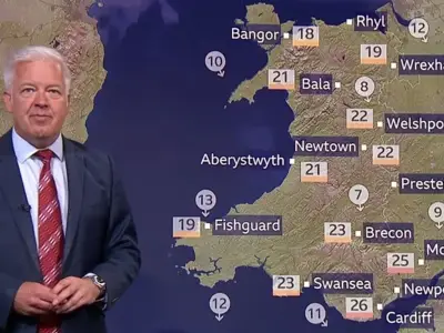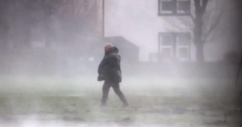
The Met Office has revealed which areas of the country face rain on Friday as the current summery weather prepares to come to an end. New maps from the forecaster show downpours battering parts of Scotland, northern England, South-west England, and Wales.
Worst-Affected Areas
The worst-affected areas are expected to be Northumberland in North-west England, where showers could reach levels of up to 8mm/hr by 6.45am on Friday. Elsewhere, Conwy in North Wales, Somerset, and East Riding of Yorkshire are all forecast to get 0.5mm/hr throughout the day.
Forecast Details
The Met Office explained that showers can be expected on Friday morning and stretch into the afternoon in some areas, which could bring thunder. Temperatures, however, are expected to be around the average as the country starts to cool down following the fifth heatwave of the year.

Its forecast for Friday adds: "Early showers in Northern Ireland will fade, leaving many northern areas dry with sunny spells. Elsewhere, showers will develop, some heavy and thundery. Temperatures near average to cool."
Full List of Areas
The 15 areas facing rain on Friday are: East Riding of Yorkshire, Northumberland, Tyne and Wear, Somerset, Devon, Dorset, Lincolnshire, South Yorkshire, Greater Manchester, Conwy, Carmarthenshire, Ceredigion, Lanarkshire, Dumfriesshire, and Ayrshire.