
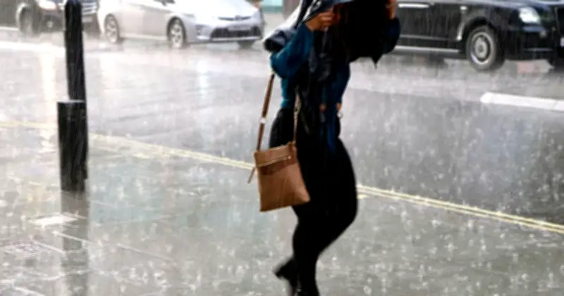
The Met Office has named the areas most likely to see rain on Thursday as unsettled weather continues across parts of the UK. Forecast maps suggest bands of rain and showers will mainly affect parts of Scotland, Northern Ireland and northern England, while much of southern and central England is expected to remain largely dry.
Areas affected by rain on Thursday
The full list of areas expected to see rain includes:
- Scotland: Aberdeen, Aberdeenshire, Ayrshire, Dumfries and Galloway, Glasgow, Highland, Inverness, Lothian
- Northern Ireland: County Antrim, County Londonderry (Derry), County Tyrone
- North West England: Cumberland
After a spell of thunderstorms and heavy downpours earlier this week, much of the UK is expected to turn drier, although showers will linger in some northern areas. Thursday is expected to be drier overall, although the Met Office said "a few isolated showers" would persist. Temperatures will also remain "cooler than recent days" and close to average for the time of year.
Met Office forecast
The Met Office expects conditions to become drier across much of the UK. Tonight, showers or longer spells of rain will continue across northern areas before gradually clearing eastwards overnight. Elsewhere, it will remain dry with clear spells and be much cooler than recent nights.
Its forecast for August 6 to August 8 states: "Dry for many on Thursday and Friday, but rain affecting northern and western parts during Saturday. Temperatures around average initially but turning warmer again towards the southeast by Saturday."
For Thursday, the forecaster expects sunny or bright spells to develop despite plenty of cloud, while a few isolated showers linger. Temperatures will be cooler than recent days and close to the seasonal average.
Looking further ahead, the Met Office's long-range forecast covering August 9 to August 18 points to a return to more settled conditions. It says rain or showers should clear on Sunday before high pressure brings drier weather for most areas on Monday. While high pressure is expected to dominate for a time, low pressure in the Atlantic could still bring further wet weather to northwestern parts of the UK.
Further into August, the Met Office says high pressure may become more dominant towards the north or northwest, while lower pressure to the south or east could bring frontal systems or thundery interludes to parts of southern and eastern England. Rainfall is expected to vary considerably from place to place, with some areas seeing very little.
The forecaster added: "For the most part, temperatures look to remain above average, especially in the south, and perhaps turning very warm or hot."




