The Met Office has warned that heavy rain is expected in parts of the UK on Friday, with temperatures dropping below the seasonal average. Highs of 20C are forecast in southern and eastern England, while northern areas will see 16-17C.
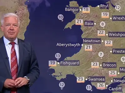
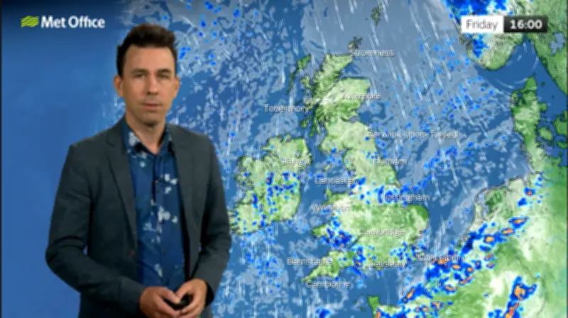
A rainfall totals map shared by the Met Office indicates the heaviest showers will hit Wales and the south-west of England.
Met Office Forecast Details
In the Met Office video forecast, meteorologist Aidan McGivern said: “Fewer showers all in all [on Friday] and some places not getting any at all. But there will be some around the east coast, and more especially in parts of Wales and the south-west - that’s where the most frequent and heavy downpours will be.”

He added: “We start off with showers across Wales and south-west England, a few for Northern Ireland, and further showers pushing into eastern Scotland and eastern England through the day. Widely temperatures are going to be below average, a couple of degrees lower than Thursday, and a few degrees below the seasonal average.”
Counties Facing Heavy Rain
The Met Office maps suggest heavy rain will fall in 10 counties on Friday, all in Wales or the south-west of England. The Welsh counties are Flintshire, Denbighshire, Ceredigion, Brecknockshire, Glamorgan, Monmouthshire, and Carmarthenshire. The English counties are Herefordshire, Gloucestershire, and Somerset.
BBC Weather Forecast
BBC Weather suggests showers could turn thundery in Wales and England on Friday. The BBC forecast states: “Tomorrow, England and Wales will see sunny spells and showers, these locally heavy and thundery. Northern Ireland and Scotland will be drier with variable cloud.
“Saturday will be a drier day for many with sunshine for most in England and Wales, but there will be the occasional shower in the south-west. Scotland will be cloudier with the odd light shower locally. On Sunday, cloudy in the north with light rain in western Scotland. Southern areas will be dry with sunshine.”