
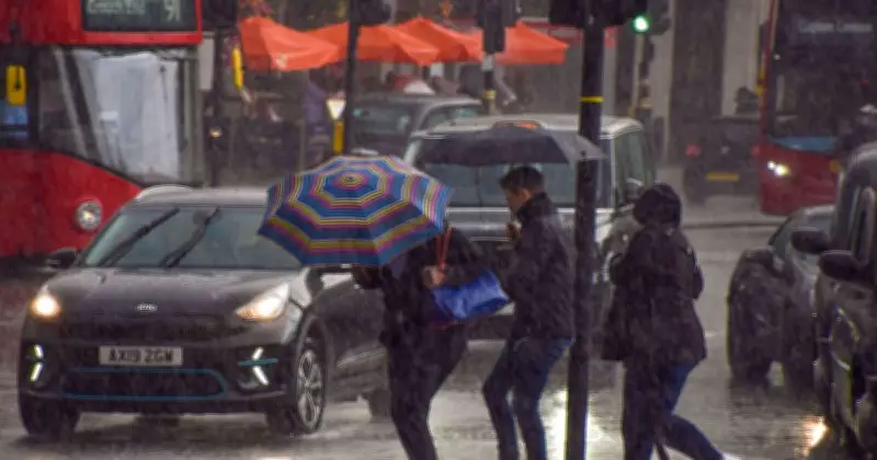
Large parts of the UK are set to see rain on Wednesday as the weather turns more unsettled following the recent heat. New Met Office weather maps show showers moving across different parts of the country throughout August 19, with some areas facing much heavier downpours than others.
Rain moving across the country
The maps suggest 10 broad areas could see rain at different points during Wednesday, with the location and intensity of the showers changing throughout the day. The first map, for 12.45am, shows rain stretching from the South West into South Wales and parts of central England. Showers can be seen around Plymouth and Exeter before extending through Wales and towards the Midlands.
By 2am, a large area of rain is shown across the South West, South Wales and further into central England. Rain can be seen around Cardiff, Hereford and Swindon, with showers also stretching towards Birmingham. Some heavier bursts are shown around South Wales.
Heavier bursts and shifting patterns
Yellow areas on the Met Office map represent rainfall rates of between 4mm and 8mm per hour, while some smaller orange patches indicate between 8mm and 16mm per hour. At 7.45am, showers are shown across parts of North West England, Yorkshire and Wales. Some of the heavier rain appears around Preston, while showers are also shown towards Leeds and across parts of Wales.
By 10.45am, a more concentrated area of rain can be seen across northern England. Showers stretch around Manchester, Leeds and York, with yellow and orange patches suggesting some heavier bursts of rain.
Evening rain across Scotland and the South East
The picture changes again by Wednesday evening. At 8pm, rain is shown across large parts of Scotland, including areas around Glasgow and Edinburgh. There are also several heavier patches across central and western Scotland, with showers extending towards southern parts of the country.
A separate Met Office map for 8pm shows another area of rain around London, Rochester and Kent. Some yellow, orange and red patches can be seen, suggesting locally heavy downpours. By 11pm, rain remains across parts of Scotland and northern England. Showers are shown around Glasgow, Edinburgh and Dumfries, with further rain extending towards Cumbria and the North East.
Outlook and full list of areas
Across the different maps, 10 broad areas are shown facing rain at some stage on Wednesday, although the heaviest downpours are expected to be much more localised. The Met Office said in its outlook for Wednesday to Friday: "Wednesday will be dry in the south, while elsewhere there will be a mix of sunshine and showers. Showers becoming widespread and heavy from Thursday, with an risk of thunder."
Full list of the 10 UK areas facing rain:
- South West England
- South Wales
- West Midlands
- North West England
- Yorkshire
- North East England
- Cumbria
- Central Scotland
- Southern Scotland
- London and the South East




