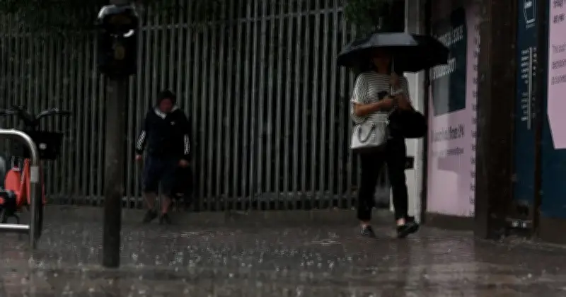
The Met Office has warned that a "Spanish plume type of system" will bring widespread thunderstorms and heavy rain to 134 areas across the UK this week. The forecaster has described the phenomenon as "the UK's most explosive weather phenomenon".
How the Spanish plume forms
According to the Met Office: "As cooler air spreads from the west, instability increases and the very warm air rises through the cooler air, enhancing the formation of thunderstorms."
The unsettled conditions follow a period of drought, with large parts of the country expected to be drenched by rain.

Rain timeline on Wednesday
On Wednesday morning, precipitation will be concentrated across the south and southwest of Britain, with a wide band stretching eastward. By 10am, heavier downpours are expected around south Wales, southwest England and sections of the central/southern band.
As the day progresses, the rain moves further north, reaching Manchester and Liverpool by the afternoon. Areas in Wales, northwest England and parts of the Midlands will experience the most persistent rain, shown as dark blue patches on weather maps.
By 4pm, much of the Midlands will see downpours, with Nottingham, Coventry, Birmingham and Leicester affected into the evening. Southern England, particularly London and the southeast, is expected to dry out as the afternoon progresses.
The band of rain continues pushing northwards, hitting areas including Huddersfield and Harrogate at around 7pm.
Forecast for the period
The Met Office's forecast for the period states: "Low pressure moving in from the southwest will bring an unsettled period, with heavy downpours and thunderstorms likely each day." It adds: "Turning increasingly humid, with temperatures staying a little above average."