
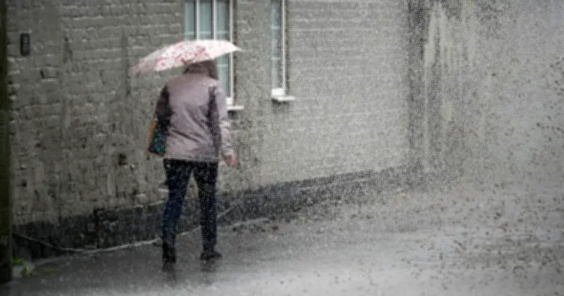
The Met Office has forecast rain across the UK on Tuesday, with weather maps showing 25 regions at risk. Thunderstorms may also occur as conditions shift.
Forecast for Monday to Wednesday
The Met Office outlook states: "Mostly dry Monday with sunny spells, some showers developing later, risk of thunder. Turning wet on Tuesday and Wednesday, mainly in the west. Generally warm, sometimes very warm and humid."
Areas Affected
Rain is expected from Cornwall and Devon in the south to Moray and Aberdeenshire in Scotland. The full list includes:
- Cornwall
- Devon
- South Wales
- North Wales
- Wiltshire
- Berkshire
- Buckinghamshire
- Oxfordshire
- Hertfordshire
- Bedfordshire
- Greater London
- Kent
- Essex
- Cambridgeshire
- Northamptonshire
- Leicestershire
- Warwickshire
- Staffordshire
- Lancashire
- Merseyside
- South Yorkshire
- North Yorkshire
- Durham
- Moray
- Aberdeenshire
Warm Weekend Ahead
Before the rain, the Met Office expects warm weather this weekend. Deputy Chief Meteorologist Greg Wolverson said: "As we move into the weekend, the jet stream temporarily shifts northwards, allowing high pressure to build from the south. This brings a drier and warmer weekend for many. Saturday will see a more settled day across southern areas, with sunny spells and temperatures reaching 22-23C. Sunday looks set to be widely dry with further sunshine, and temperatures rising to 23-24C in southern England."




