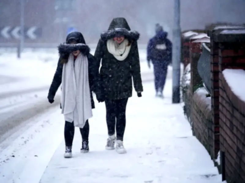
The Met Office has provided an update on whether the UK can expect a white Christmas this year. The national weather service stated that "for most parts of the United Kingdom, Christmas is only at the beginning of the period when it's likely to snow."
Snow more likely in January and February
The Met Office elaborated: "We are more likely to see snow in January and February than in December, with snow actually settling on the ground (snow lying) an average of 3 days in December, compared to 3.3 days in January, 3.4 days in February and 1.9 days in March (1991 - 2020 long-term averaging period)."
Defining what constitutes a white Christmas, the forecaster explained that for them to declare a 'white Christmas', "a single snowflake has to be observed falling on the 24 hours of 25 December, by either an official Met Office observer or by a Met Office automated weather station."
Historical records and past white Christmases
"This is because it needs to be officially verified both for our climate records and also to provide consistency and certainty," they further clarified.
The deepest snowfall on Christmas Day was recorded in 1981, when Kindrogan, Perthshire, had 47 cm, according to Met Office records.
"There was no record of snow falling at any station in the UK in 2018 or in 2019. The last widespread white Christmas in the UK was in 2010. It was extremely unusual, as not only was there snow on the ground at 83% of stations (the highest amount ever recorded), but snow or sleet also fell at 19% of stations," the Met Office added.
A white Christmas was recorded in 2009, when 13% of stations recorded snow or sleet falling, and 57% reported snow lying on the ground, reports the Express.
Providing further insight, the weather service explained: "There has only been a widespread covering of snow on the ground (where more than 40% of stations in the UK reported snow on the ground at 9 am) four times since 1960 - in 1981, 1995, 2009 and 2010."
Temperatures set to plunge
In a separate outlook, the Met Office also warned temperatures are set to tumble shortly, with daytime highs of just 11°C predicted for Wednesday, and even throughout the Southeast of England, the thermometer is unlikely to climb above 15°C by week's end.
Yet it also noted that while conditions will turn nippy with icy mornings ahead, snow remains extremely unlikely in the immediate future. This comes despite an approaching stratospheric polar vortex, which is anticipated to bring about a shift in weather patterns.