
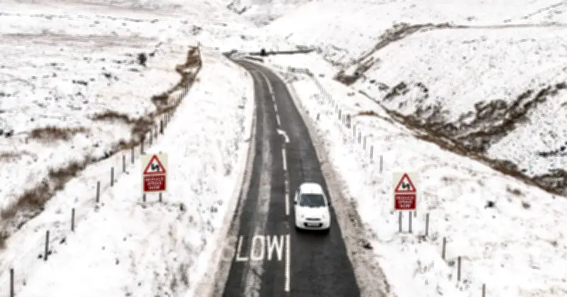
The Met Office has issued its latest outlook for the UK as October gets underway, with forecasters saying there are currently "no strong signals for widespread or disruptive snowfall across the UK during October".
Britain experienced several scorching heatwaves over the summer, with temperatures regularly topping 35C and several records broken. The mercury has been dipping over the last couple of weeks, with glorious sunshine replaced by more downpours and stronger, colder winds.
Brief colder spells not ruled out
Despite the overall outlook, brief colder spells have not been ruled out, while the highest parts of Scotland would be the most likely areas to see snow if wintry conditions do develop.
A spokesperson said: "The Met Office's latest outlook indicates a greater likelihood of temperatures being above average overall during the month, although this does not rule out the possibility of brief colder spells. Current guidance suggests the risk of impacts typically associated with early-season cold weather, such as widespread frost, ice or snowfall, is lower than normal."
Conditions for lower-level snow
Snow reaching lower levels would require more unusual conditions, with a prolonged spell of colder air needed for wintry weather to spread more widely.
The spokesperson added: "Snow at lower levels would generally require a more sustained spell of unusually cold air moving across the UK, combined with sufficient moisture to produce precipitation."
According to its website, the Met Office's long-range outlook also points towards relatively mild conditions overall. Temperatures are forecast to be "near or slightly above normal overall" through the middle of October, despite some day-to-day variations.
Outlook for the rest of October
Looking further ahead to the second half of the month, a changeable pattern is considered most likely, with showers or longer spells of rain moving in from the Atlantic. The wettest and at times windiest weather is expected to be more likely in the west and northwest, with relatively drier conditions towards the south and east.
A predominantly westerly pattern would support temperatures remaining "close to or a little above average overall".
The Met Office also explained that the time of year itself makes widespread snowfall less likely. The spokesperson added: "October snowfall is relatively uncommon away from high ground because sea and land temperatures are typically still comparatively warm following the summer months. As a result, any early-season snow is usually limited in extent and duration."
While the overall signal is therefore for temperatures around or above average, colder spells remain possible during October.




