
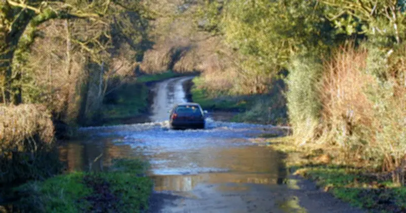
The Met Office has issued an 11-hour thunderstorm warning as several areas in the UK are likely to flood today. Rain is expected to batter certain parts of the nation, which is much needed as locations across the country face droughts following the prolonged heatwave period.
Flood alerts issued across Scotland
In Scotland, flood alerts have been issued to seven areas, with one area also given a flood warning. Although the downpours are not strictly forecast in Scotland, central and southern England are likely to miss out on most of the much-needed rain.
Eastern parts of Scotland have been issued a yellow thunderstorm warning lasting from 10am to 9pm, with the Met Office warning of a chance of flooding, with potential for damage to buildings from floodwater, lightning strikes or strong winds.
Full list of flood alerts
The Scottish Environment Protection Agency has issued several flood alerts meaning flooding is possible and residents and business owners should be prepared to act should heavy rain hit. The full list of flood alerts includes:
- Aberdeenshire and Aberdeen City
- Central
- Dundee and Angus
- Edinburgh and Lothians
- Fife
- Tayside
- West Central Scotland
- Strath Oykel - flood warning
Strath Oykel is facing a flood warning which means immediate action is required as flooding is expected in the area.
Rain and temperature forecast
As well as wet spells, the Met Office has predicted that temperatures will cool towards averages for the time of year on Wednesday, after the spike at the start of the week. While rain is forecast for northern England, Northern Ireland, Wales and Scotland, the same conditions are not expected in the south.
The downpours are expected to continue into Thursday, as outbreaks of rain in the north will sink south, but they will turn more showery, forecasters said.
Drought conditions persist in south
However, there is still little rain anticipated for central and southern England. July was the driest month ever recorded in southern England – and meteorologists have said there may not be significant rainfall in the area for some time.
“It’s looking pretty dry (for southern England),” said Met Office forecaster Marco Petagna. “Later on Sunday we could just get a few showers coming down from the North West. But the rain’s weakening as it comes into the South East.”
Mr Petagna added: “Even for the second half of the month (August), it is suggested that rainfall totals are more likely to be below normal than above, with a potential for further spells of hot weather at times as well. So nothing significant on the horizon for the South East.”




