
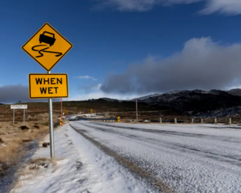
A vigorous cold front sweeping southern Australia this weekend is forecast to bring damaging winds, rain and potential flooding to parts of the country.
Severe weather warnings issued
The Bureau of Meteorology has issued severe weather warnings for damaging winds, showers and thunderstorms along Western Australia's southern coastline on Saturday, and parts of South Australia, Victoria and New South Wales on Sunday. An initial flood watch for river catchments in Victoria and New South Wales was also in place.
A senior meteorologist at the bureau, Ilana Cherny, said it would be a “wet, windy and wintry weekend ahead”. The front, which was expected to deliver a “cold and icy blast”, would move through WA and SA on Saturday, trailed by gusty winds, showers, thunderstorms and a small chance of hail, Cherny said. A rare dusting of snow was possible atop Bluff Knoll, in WA's Stirling Range.
Winds and rainfall expected
Rottnest Island recorded 96km/h winds at 8.54am on Saturday morning. From Sunday, strong winds, heavy rain and potential storms were expected to reach SA, Victoria and NSW, with wind gusts exceeding 100km/h expected for alpine areas. The BoM has issued warnings for damaging winds across the western Eyre Peninsula and Flinders Ranges in SA, the central and eastern ranges in Victoria and NSW alpine areas.
The front would also bring widespread rain between 20mm and 40mm across southern Australia, with rainfall totals reaching 50mm to 80mm in parts of the south-east.
Flood watch in place
“With so much rainfall on the way, we are looking at some river level rises to develop later this weekend and into the new week,” Cherny said. An initial flood watch was in place with river and creek rises and localised flooding possible across river catchments, including the Snowy, Mitchell, Macalister, Bunyip, Yarra, Upper Murray, Mitta Mitta, Kiewa, Ovens, King, Broken, Goulburn rivers and Dandenong Creek.
Impact on ski resorts
The cold front would be a “mixed bag” for ski resorts in Victoria and NSW, Cherny said. Plenty of rainfall on Saturday and Sunday was likely to melt pre-existing snow on the mountains but more was expected by Monday. “With such cold air and plenty of moisture about we could even see a dusting of snow further north through our central tablelands of NSW and even up towards the Barrington Tops,” she said.
Weatherzone's Anthony Sharwood anticipated multiple bursts of fresh snow through to next Thursday. “This system has the potential to deliver more than half a metre of fresh snow at elevations around 1,800m, with heavier accumulations possible on the nation's highest peaks between 1,800m and 2,228m (the height of Mount Kosciuszko).”
After an extremely warm start to the season, the 2026 season was no longer on track for the worst on record, with snow depths at Spencers Creek, NSW, reaching 87.1cm, according to Snowy Hydro – exceeding 85.1cm in 2006, the lowest recorded. The possibility of snow would increase next week, according to the BoM, with the falls at lower elevations – about 1,000 metres – from around Wednesday.




