
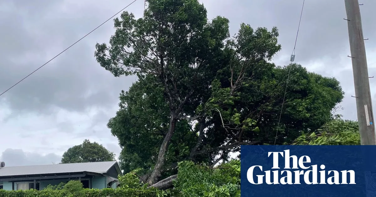
Tropical Cyclone Narelle weakened to a category 2 storm on Friday evening after making landfall on the Cape York peninsula as a high-end category 4 system, the Bureau of Meteorology confirmed. The storm crossed the coast near Lockhart River and Coen at 7am with sustained winds of 195 km/h, just 5 km/h short of category 5 intensity. As of 4pm, destructive winds near the centre had reduced to 100 km/h with gusts up to 150 km/h.
Queensland Premier David Crisafulli described the relatively limited damage as “an incredibly good news story,” noting that the cyclone “threaded a needle” between populated areas. However, he cautioned that it would take time to assess the full extent of destruction. Local resident Debbie Jackson, living 50 km north of Coen, reported “losing roofs everywhere” and downed trees, with seven people sheltering in a shipping container.
The system is expected to re-intensify over the Gulf of Carpentaria before making a second landfall late Saturday or early Sunday near Anindilyakwa Island on the Top End’s east coast. It is then forecast to track west over already-saturated areas around Katherine, south of Darwin, on Sunday, bringing 100-200 mm of rain and potential major flooding. The Bureau warned of destructive wind gusts up to 185 km/h as Narelle remains a severe category 3 system over water.
Climate experts attributed the cyclone’s intensity to record-high sea surface temperatures in the Coral Sea, fuelled by global heating. Higher ocean temperatures provide more energy for cyclones, increasing their strength and rainfall potential. Coastal inundation is also worsened by rising sea levels.
Emergency warnings remain in place for Lockhart River, Port Stewart, and Coen. Authorities reported no rescues by Friday afternoon, but communities in the Northern Territory, already hit by consecutive flooding, were making final preparations for Narelle’s arrival.




