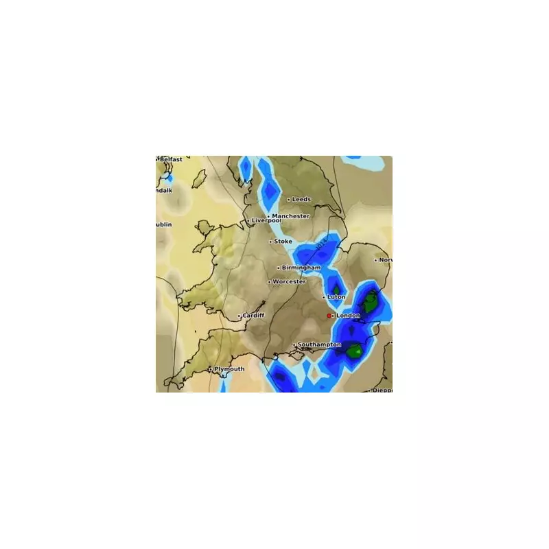
The Met Office has issued yellow weather warnings as Britain braces for a week of turbulent weather, with thunderstorms and heavy rain set to sweep across the country.
When and Where Will the Storms Hit?
The weather alerts cover large parts of England and Wales from Tuesday through Thursday, with forecasters warning of potential flooding, power cuts, and travel chaos.
Tuesday's Forecast
On Tuesday, the South West and Wales will bear the brunt of the storms, with up to 40mm of rain expected to fall in just a few hours in some areas.
Midweek Mayhem
The weather system will then push northwards on Wednesday and Thursday, affecting central and northern England with similar disruptive conditions.
What to Expect
- Sudden flooding of homes and businesses
- Dangerous driving conditions with spray and standing water
- Possible power cuts from lightning strikes
- Disruption to public transport services
- Potential damage to buildings from floodwater
Expert Warnings
Met Office meteorologists have urged the public to stay vigilant, particularly those in low-lying areas prone to flooding. "These thunderstorms could bring intense rainfall in short periods," warned chief forecaster Paul Gundersen. "We're advising people to check local forecasts and allow extra time for journeys."
Longer Term Outlook
While the worst conditions are expected midweek, unsettled weather patterns are forecast to continue through the weekend, though temperatures are predicted to remain seasonally mild.


