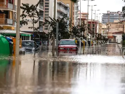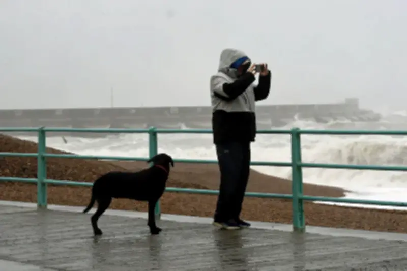
More than 18,000 homes were without power in the South West of Britain on Friday morning as Storm Austen, the first named storm of the season, brought gusts of up to 80mph to parts of the region, with further severe weather and a new amber warning forecast over the weekend.
A gust of 76mph was recorded at St Mary’s Airport on the Isles of Scilly on Friday morning. Just before 10.30am, more than 18,000 homes were without power in the South West, according to National Grid. Of those, more than 6,000 are customers who have signed up to the priority services register for people who may have additional needs or require extra support.
A spokesman for National Grid said that as of 8am, engineers had restored power to more than 12,000 properties affected by Storm Austen.
Amber wind warnings issued
The Met Office had issued an amber warning for wind covering Cornwall, Devon and the Isles of Scilly, which was in effect from 1am until 10am. Forecasters have now issued an amber warning for wind in place for 24 hours from 9pm on Saturday, covering Scotland, the north coast of Northern Ireland, and Cumbria and Northumberland in the north of England.
Amy Webb, chief operating officer at National Grid Electricity Distribution, said: “We know how difficult it is to be without power, particularly during severe weather. Our engineers are out across the affected areas, working to repair the damage and get customers back on supply as quickly and safely as possible. We’re grateful for their patience while that work continues. If you see a fallen power line, damaged pole or other damage to our equipment, please stay well clear and call 105 straight away.”
Travel disruption and fallen trees
Loganair cancelled a number of flights throughout Friday, including to and from Jersey, Bristol, Exeter and Southampton. A tree blocking the railway between Poole and Bournemouth resulted in blocked lines, with disruption expected to last until midday.
Chief forecaster Neil Armstrong said: “This is the first stormy weather in the south of the UK this season and we expect some disruption as it moves through. With trees in leaf, it is likely fallen branches and trees could obstruct roads and railways so take extra care on the Friday morning commute.”
Over the weekend, Storm Boelo will affect Northern Ireland, Scotland and parts of northern England with what the forecaster described as “impactful winds”. Yellow weather warnings have been issued for the whole of mainland Scotland, the Western Isles, Orkney and the far north of England from 12pm on Saturday to 9pm on Sunday. There will be “widespread gusts” of 55-65mph widely, with these reaching up to 70-80mph in more exposed coastal locations, the Met Office added.
Rail slowdowns and further warnings
Network Rail Scotland said trains will be slowed down on Friday and over the weekend to keep people safe in the areas expected to see the heaviest rain. Early on Friday, Southern Rail announced a lightning strike at Normans Bay prevented trains from stopping at the station. National Rail said in a post on X that the weather warning meant fewer trains would call at Ryde Pier Head until 6pm on Friday. The operator also said a number of services in England’s north will be changed throughout the day on Friday, advising passengers to plan ahead. Some services between Leeds and York via Harrogate will not stop at Weeton or Headingley, while trains between York and Blackpool North will skip New Pudsey.
A separate yellow warning for wind covering Northern Ireland from 10am on Saturday to 12pm on Sunday predicts gusts of 50-60mph, with up to 65-75mph in exposed regions. Storm Boelo is a separate low pressure system to Storm Austen, which is due to clear eastwards into the North Sea through Friday.
Another yellow weather warning for large parts of England, the North West and North Wales is in place from 10am on Friday until 9pm. Rain will be heaviest in southern and eastern Scotland, where a yellow weather warning has been issued from 7am to midnight on Friday. Accumulations of 20-40mm are expected within the warning area throughout this time, with 60-80mm possible in some locations, the Met Office said. This could bring flooding and travel disruption in a few places.
Greenpeace climate campaigner Maja Darlington has called on the Government to act to stop a “doomloop of extreme weather”, after a summer of wildfires and drought. She said: “We’ve barely cooled off from a summer of blistering heat, and now the first winter storms are battering at the front door. While millions of people face the prospect of ruined homes and businesses, oil giants are preparing to announce multi-billion-pound profits next week.” “The Government must take a stand against this doomloop of extreme weather and corporate impunity,” Ms Darlington added.