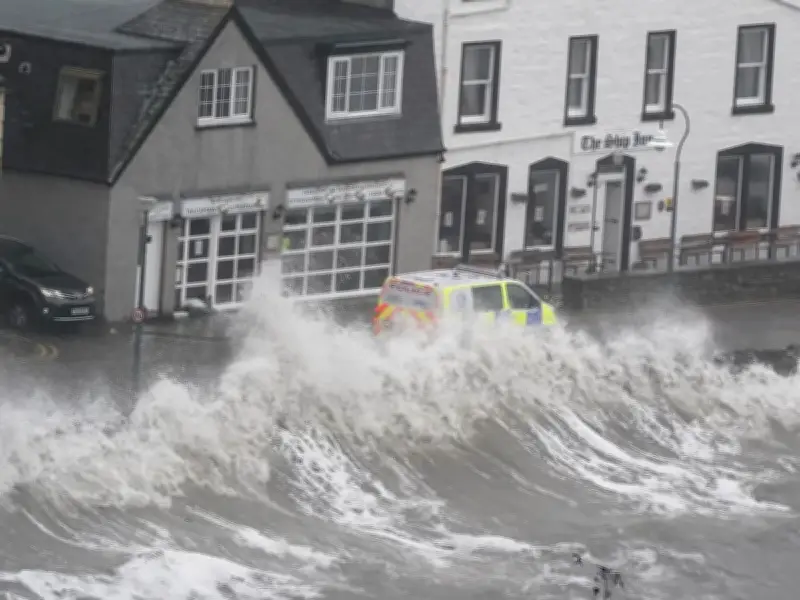
The UK could face two named storms within 48 hours, with a danger to life warning in effect for Storm Austen on Friday and forecasts suggesting a second system, possibly named Storm Boelo, could arrive over the weekend.
Storm Austen, the first named storm of the year, is set to bring heavy rain and gusts of up to 70mph as a low pressure system sweeps across the country. The Met Office has issued a yellow warning for wind covering most of south-west England and southern Wales, running from midnight to midday on Friday, October 23, with parts of the south coast as far east as Brighton also affected.
Second Storm Possible Over Weekend
Forecasts indicate an area of low pressure could reach northern parts of the UK over the weekend, potentially becoming Storm Boelo. ITV weather forecaster Becky Martin said: "Forecasters are expecting disruptive winds and heavy rain across the north and northwest of the UK; in particular, there is a good chance this will become Storm Boelo later on Saturday."
She added: "So the worst weather will be in southwestern parts on Thursday night into Friday and then in the north/northwest later on Saturday."
Warning Details and Gusts
Storm Austen is forecast to bring gusts of 50 to 60mph to southern areas, with 70mph possible along exposed coasts. The yellow warning states: "A period of strong winds may lead to damaging gusts and transport disruption," and adds: "There is a small chance of injuries and danger to life from flying debris."
The Met Office also advises: "Prepare to protect your property and people from injury. Check for loose items outside your home and plan how you could secure them. Items include: bins, garden furniture, trampolines, tents, sheds, and fences."
Forecaster Comments and Rain Impact
Met Office Deputy Chief Forecaster Tom Crabtree said: "While the exact track and position of Storm Austen is still being determined, what’s clear is that we have an impactful period of weather on the way and the potential for disruption in places, which has resulted in the system being named.
"Peak gusts in excess of 70mph are possible on the most exposed coastal areas, while 50-60mph are likely more widely within the warning area. Weather warnings are under constant review and could be updated as confidence increases, so it’s important to stay up-to-date with the forecast in the coming days."
Storm Austen will move from west to east through Friday, with winds generally diminishing later in the day. Rain is an additional hazard, with 20-30mm in many places and higher totals possible over higher ground in the west and further north on Friday.