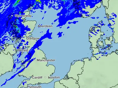
The Met Office has issued fresh weather warnings for heavy rain and wind across the UK, with almost 150 flood alerts in place following Storm Ingrid. The Environment Agency has 113 flood alerts and 20 flood warnings across England, while Scottish and Welsh agencies have issued additional alerts.
Yellow rain warnings cover southwest England, southern and mid-Wales from Monday afternoon through Tuesday. Up to 30mm of rain is expected widely, with 50-80mm over higher ground like Dartmoor, Exmoor and the Brecon Beacons. Saturated ground increases flood risks. Strong southeasterly winds are also forecast.
Separate warnings apply to Northern Ireland on Monday, with heavy rain moving northeast, and a combined rain and wind warning on Tuesday with gusts up to 70mph along exposed coasts. The southeast of England faces a yellow warning from midnight to midday Tuesday, with 15-25mm of rain expected.

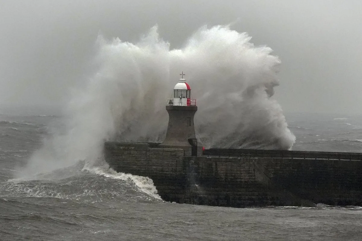
Structural damage has already occurred: part of Teignmouth Grand Pier in Devon crumbled into the sea, and a sea wall protecting the Dawlish railway line collapsed. A decommissioned nuclear bunker also fell onto a beach in Yorkshire due to coastal erosion.
Further unsettled weather is expected through the week, with rain, hill snow in Scotland, and strong winds particularly on Tuesday. The Met Office warns of possible flooding, power cuts, and transport disruption.