
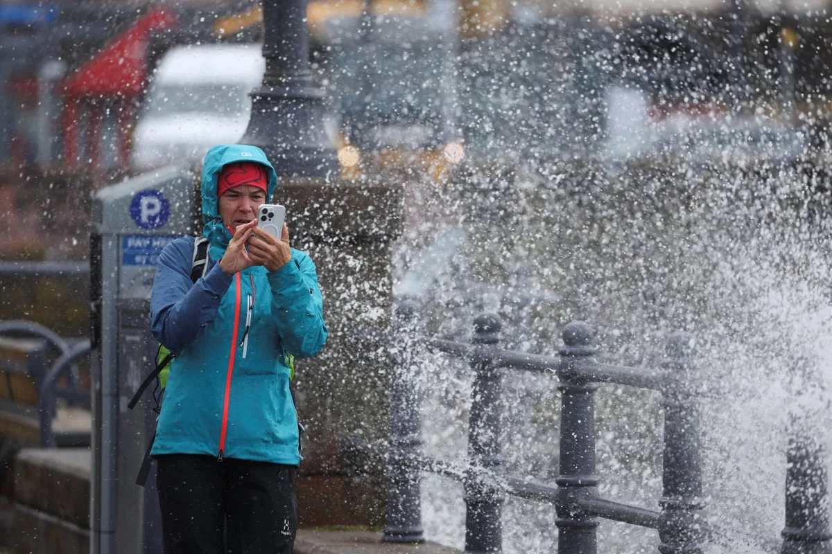
The remnants of Hurricane Humberto are expected to bring strong winds and heavy rain to parts of the UK later this week, as the storm tracks across the Atlantic towards Britain. The Met Office has issued a yellow weather warning for Scotland from Wednesday evening to Friday morning, with persistent rainfall and gusts of up to 70mph forecast.
Hurricane Humberto, which reached category 5 strength on Saturday before weakening to category 4, is currently over the southwest Atlantic. The Met Office is monitoring the system closely, warning that it could combine with Tropical Storm Imelda to create a deep low near the UK. This could bring very strong winds and further heavy rainfall from Friday into Saturday, though the exact track remains uncertain.
In Scotland, the heaviest rain is expected over hills and mountains, with up to 250mm possible in some areas by early Friday. The yellow warning covers Central, Tayside & Fife, Highlands & Eilean Siar, and Strathclyde. The Met Office has warned of potential flooding, power cuts, and danger to life from fast-flowing floodwater.

Meanwhile, a separate yellow fog warning was in place on Monday morning across parts of East and South East England, including Cambridgeshire, Essex, and Greater London, with visibility down to 50 metres in some areas. The fog is expected to clear by midday, giving way to a fine day with sunshine in the south, while the north west remains cloudy and windy.
The Met Office advises residents to check if their property is at risk of flooding and to prepare a flood plan and emergency kit. Forecasts may change quickly as the situation develops.


