
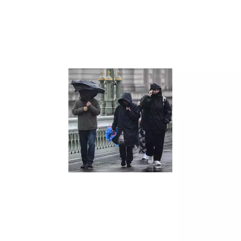
The United Kingdom is preparing for a battering from the remnants of Hurricane Humberto, with weather experts issuing urgent warnings of potentially dangerous conditions. The Met Office has alerted the public to expect ferocious winds reaching up to 70mph and torrential downpours that could cause significant disruption across the country.
What to Expect From the Incoming Storm
Meteorologists are tracking the ex-hurricane's path across the Atlantic, with current projections indicating it will merge with the jet stream and intensify into a deep area of low pressure before reaching British shores. This weather system is expected to bring:
- Powerful winds reaching 60-70mph in exposed coastal areas
- Heavy, persistent rainfall throughout Wednesday and Thursday
- Potential flooding in low-lying and vulnerable regions
- Significant travel disruption to road, rail, and air services
Timeline of the Severe Weather Event
The worst of the conditions are forecast to hit during the middle of the week, with Wednesday expected to see the peak of the storm's intensity. Weather models show the system rapidly deepening as it approaches the UK, creating conditions reminiscent of traditional autumn storms that often cause widespread damage and travel chaos.

Regional Impact and Safety Precautions
While the entire country will experience unsettled weather, western and southern coastal regions are likely to bear the brunt of the strongest winds. Residents in these areas are advised to:
- Secure loose outdoor items that could become dangerous projectiles
- Prepare for potential power outages
- Reconsider non-essential travel during the peak of the storm
- Monitor local flood warnings from the Environment Agency
The Met Office continues to monitor the situation closely and may issue more specific warnings as the storm system develops. Emergency services across the country are preparing for increased callouts related to fallen trees, structural damage, and weather-related incidents.
Longer Term Weather Outlook
Beyond this significant weather event, forecasters indicate that the unsettled pattern is likely to continue through the remainder of September, with further Atlantic systems waiting in the wings. This serves as a reminder that the UK is entering its traditional storm season, where such weather events become increasingly common.
Travelers are strongly advised to check with their transport providers before setting out during the affected period, as road conditions may become hazardous and public transport services could experience delays or cancellations.


