Hurricane Erin is battering the US east coast, bringing powerful surf and higher tides that have prompted expanded warnings for flooding and tropical storm conditions. The storm, which has rebuilt its inner eye wall, is expected to generate dangerous waves up to 20 feet (6 metres) along the shore, with North Carolina facing the most brutal conditions.
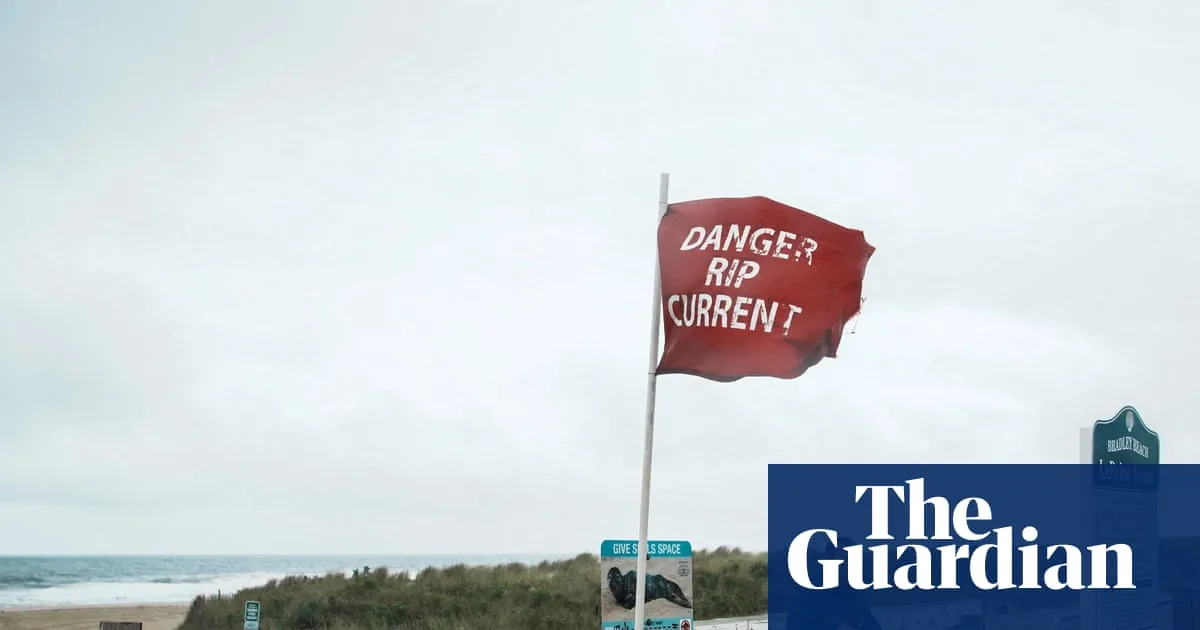
Coastal residents are preparing for a potential storm surge of up to 4 feet (1.2 metres) and severe beach erosion. The National Hurricane Center warned that swells from Erin would affect the Bahamas, Bermuda, and Atlantic Canada over the next several days, causing life-threatening surf and rip currents.
Authorities have urged people to stay out of the ocean along the entire east coast. In New York City, swimming is banned at city beaches on Wednesday and Thursday due to treacherous currents. Beach closures have also begun in New Jersey and Delaware, expected to last until Friday or later.

In the Outer Banks of North Carolina, conditions deteriorated on Tuesday despite Erin being more than 500 miles offshore. Parts of the area are under mandatory evacuation orders and a state of emergency. In Buxton, afternoon tides pushed waves under beachfront homes and swept water across Highway 12, the main road. Southern areas like Hatteras Island and Ocracoke Island, which rely on limited access, are particularly vulnerable.
Hurricane Erin's rapid intensification ranks it among the fastest-strengthening hurricanes ever recorded in the Atlantic, highlighting concerns that climate change is fueling more powerful storms.