
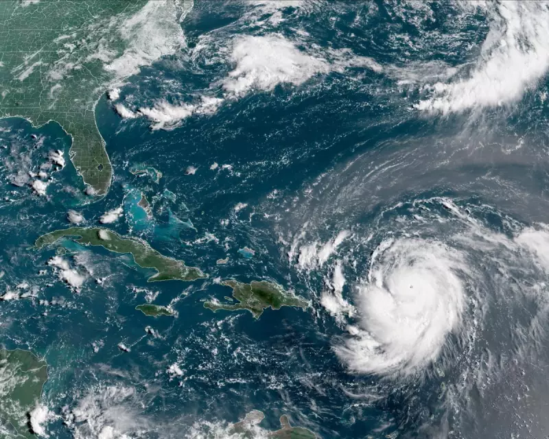
Hurricane Erin is rapidly intensifying as it barrels towards the north-east Caribbean, with meteorologists warning of potentially catastrophic impacts on the Leeward Islands. The storm, which has been gathering force over the Atlantic, is expected to bring destructive winds, heavy rainfall, and dangerous storm surges.
Current Situation and Forecast
According to the latest reports, Hurricane Erin has reached Category 3 status, with sustained winds of up to 120 mph. The storm is projected to pass near Antigua and Barbuda, Montserrat, and St. Kitts and Nevis within the next 48 hours. Residents in these areas are being advised to take immediate precautions.
Preparations Underway
Local authorities have activated emergency response plans, including the opening of shelters and the distribution of essential supplies. Airlines have begun cancelling flights, and cruise ships are rerouting to avoid the storm's path.

Potential Impacts
- High Winds: Gusts exceeding 140 mph could cause widespread structural damage.
- Flooding: Torrential rains may trigger flash floods and landslides.
- Storm Surge: Coastal areas face life-threatening surges of up to 12 feet.
Experts are urging residents to secure their homes, stock up on food and water, and stay informed through official channels.


