
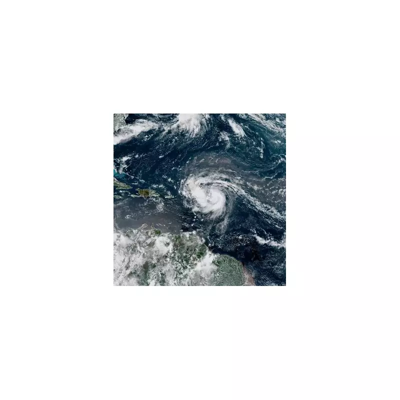
Hurricane Erin has undergone a dramatic and alarming transformation, surging to a terrifying Category 4 hurricane with winds reaching up to 130mph. Meteorologists are sounding the alarm as the storm gains strength, posing a severe threat to coastal communities.
Urgent Warnings Issued
Authorities have issued urgent evacuation orders for low-lying areas, fearing life-threatening storm surges and catastrophic flooding. Emergency services are on high alert, urging residents to prepare for the worst.
Rapid Intensification Stuns Experts
The hurricane's rapid intensification has caught many by surprise, with wind speeds increasing by 35mph in just 24 hours. Climate scientists warn that warmer ocean temperatures are fueling these extreme weather events, making storms more unpredictable and dangerous.

Potential Impact Zones
Current projections suggest the hurricane could make landfall within the next 48 hours, with the following areas at highest risk:
- Coastal regions with inadequate flood defences
- Islands in the hurricane's direct path
- Areas still recovering from previous storms
Residents are being advised to secure property, stock up on essentials, and follow official guidance to stay safe.


