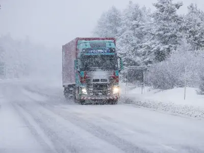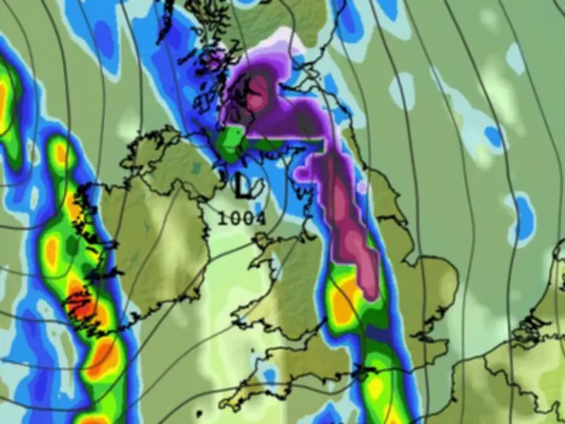
Weather models suggest significant snowfall could hit the UK next week, with up to seven inches settling in some regions and as many as 35 counties potentially affected.
Snow fell across northern England and parts of Scotland earlier this week, prompting a yellow weather warning from the Met Office. The GFS model now indicates more snow could fall early next week.
Where the snow is expected
At midday on Tuesday, the maps show heavy snow falling from the Midlands up to northern Scotland, with the most intense flurries around the East Midlands. The snow is then expected to head northwards, with the heaviest flurries impacting parts of Yorkshire at around 3am on Wednesday. Over hills, the data suggests snow could fall at a rate of around 1cm per hour.
Rural and elevated parts of Wales could also see some snow at around 6am, according to the same weather model, while the main weather front drifts over the north-east and into the North Sea.
Snow depths and affected counties
Snow depth charts for Tuesday show 3cm settled on the ground in the Midlands, 3cm on the Yorkshire Dales, and 6-7cm on hills in northern Scotland. By 3pm on Wednesday, the data shows as much as 17cm of snow (roughly seven inches) settled over the highest peaks in the Cairngorms National Park.
In total, the GFS weather model shows snow settling on the ground in 35 counties across Tuesday and Wednesday, all in England or Scotland.
Counties in England facing snow include Leicestershire, Lincolnshire, Nottinghamshire, Derbyshire, Yorkshire, Cheshire, Lancashire, Cumbria, Durham, Northumberland and Staffordshire. In Scotland, affected counties include Berwickshire, Roxburghshire, Selkirkshire, Midlothian, Peeblesshire, Lanarkshire, Dumfriesshire, Wigtownshire, Kirkcudbrightshire, Ayrshire, Renfrewshire, Dunbarton, Stirlingshire, Clackmannanshire, Kinross-shire, Fife, Perthshire, Angus, Aberdeenshire, Banffshire, Ross-shire and Cromartyshire, Argyllshire, Inverness-shire and Sutherland.
Polar vortex disruption
Forecasters say there was a weakening and a reversal of the winds in the polar vortex at the start of this month, which could have an impact on UK weather over the coming weeks. This is caused by a process called sudden stratospheric warming (SSW). When temperatures in the stratosphere rise, cold air rushes downwards and can impact the jet stream, potentially creating a blocking effect and keeping cold conditions locked in place over the UK.
SSW led to the infamous Beast from the East in 2018, during which 22 inches of snow settled in some areas, but that does not mean the same thing will happen this time around.
The Met Office said: "While the SSW could influence UK weather in the coming weeks, this is only a shift in chances rather than a guaranteed cold spell. In any case, cold weather also doesn't mean snow is inevitable, as a number of factors need to align for snow."
"For now, the polar vortex is beginning to recover, with its westerly winds strengthening again. Some longer-range model members suggest those winds could weaken again later in December, potentially raising the possibility of further disruption, but this remains a significant uncertainty."