
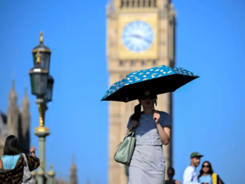
The Met Office has said that temperatures are set to cool over the coming days after the UK heatwave peaks at 35C this week. A cold front arriving at the weekend will make it feel 'chilly' in just days.
Peak heat on Wednesday
The UK weather agency said that Wednesday (July 29) will mark the peak of the heat with some locations hitting highs of 35C, breaking records for the number of days the UK has seen temperatures above 35C. Paul Gundersen, a Met Office chief forecaster, said: "Wednesday will see the highest temperatures of the week, with some locations in eastern England expected to reach 35C."
Mr Gundersen added: "However, a marked change of weather type is due from the end of the week, bringing more unsettled conditions to the northwest of the UK and temperatures closer to the seasonal average. Scotland and Northern Ireland will see cloudier conditions with outbreaks of showery rain, although here too brighter spells are possible." He noted that a temperature of 35C on July 29 would be the seventh day of 2026 with 35C or higher, surpassing the previous record of five days set in 1976.
Cold front and weekend outlook
The Met Office says a cold front will sink southwards during Thursday (July 30), gradually introducing fresher conditions with outbreaks of rain and showers, heavy at times, affecting northern Scotland. From Friday (July 31), temperatures are expected to be much closer to average across most of the UK, and even slightly below average for northern Scotland.
Saturday (August 1) will even have a "chilly start for many", the Met Office says, but there will be lots of dry weather with some sunny spells, with one or two showers possible.
Drought conditions persist
Mark Sidaway, Deputy Chief Forecaster, said: "The forecast is showing potential for more rain than much of the UK has experienced over the last few weeks. However, it looks as though amounts of rain for many will be fairly modest, and wont balance out the shortfall that we have recorded this summer. It’s still possible that some areas of the south will miss out and see little or no rainfall."
It comes as the Environment Agency has declared that half of England has now entered a drought. Devon and Cornwall, East Anglia, Hertfordshire and London and West Midlands are among the areas now in an official drought. Greater Manchester, along with Cumbria and Cheshire, are in 'prolonged dry weather', the stage before a drought. Just Yorkshire and the North East remain in normal status.
Met Office Chief Meteorologist Will Lang said: "The warm and exceptionally dry conditions experienced across much of England over recent months are continuing to have a significant impact. Many areas have received very little or no rainfall throughout July, extending a period of below-average rainfall that has persisted across parts of the country since spring."
Mr Lang continued: "While there are indications of occasional unsettled spells during the first part of August, bringing the chance of rain to some locations, there is currently little sign of the widespread, sustained rainfall that would be needed to make a significant difference to the areas most affected by the dry weather." He added that the Met Office continues to work with the Environment Agency and partners to support drought monitoring and response.




