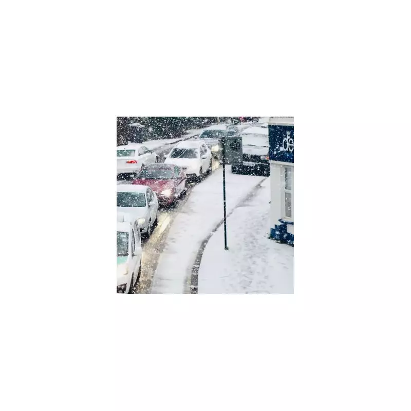
The United Kingdom is on alert for a significant winter weather event in the first week of 2026, with meteorologists warning of a potential 'snow bomb' bringing up to five inches of accumulation. The cold snap, dubbed a 'nightmare after Christmas', is set to intensify from New Year's Day, blanketing many parts of the country.
Arctic Blast Set to Bring Widespread Snow
According to the latest forecasts, a severe band of snow is poised to strike the UK from January 4. Jim Dale, a senior meteorologist at British Weather Services, indicated that the snowfall could reach as far south as Norfolk and central Wales. However, the northeast of England, including areas like Durham and Cleveland, is expected to bear the brunt of the weather system, with predictions of one to five inches of snow. In a concerning detail, some regions could see an inch of snow falling every hour during the peak of the event.
Met Office Issues Official Warnings
The Met Office has already taken action, issuing a yellow weather warning for snow and ice across northern Scotland. This warning is active from 6am on New Year's Day through to the end of Friday, January 2. Deputy Chief Forecaster Mark Sidaway confirmed that the cold spell, driven by Arctic air and strong northerly winds, will bring cold or very cold conditions to all parts of the UK. He stated that widespread frosts and the first snow of the winter for many are expected, with the cold conditions likely to persist through at least the first full week of January.
Uncertainty for Southern Regions
While the north is forecast for the heaviest snow, the situation for southern parts of the UK remains uncertain. Jim Dale described it as a 'watch and wait exercise', noting that sporadic weather events can 'dump a lot where you least expect them to'. He used examples like the Isle of Wight or Penzance, suggesting that even southern coastal areas could see a complete covering if caught under a heavy snow shower. Latest weather maps from services like WXCHARTS and Ventusky show the potential for snow to reach areas including the Scottish Highlands, the East coast, East Anglia, Wales, and Cornwall in the coming days.
The public is being urged to stay updated with the latest forecasts and official warnings from the Met Office as the situation develops. The combination of significant snowfall, ice, and very low temperatures is expected to cause widespread disruption to travel and daily life as the nation enters the New Year.


