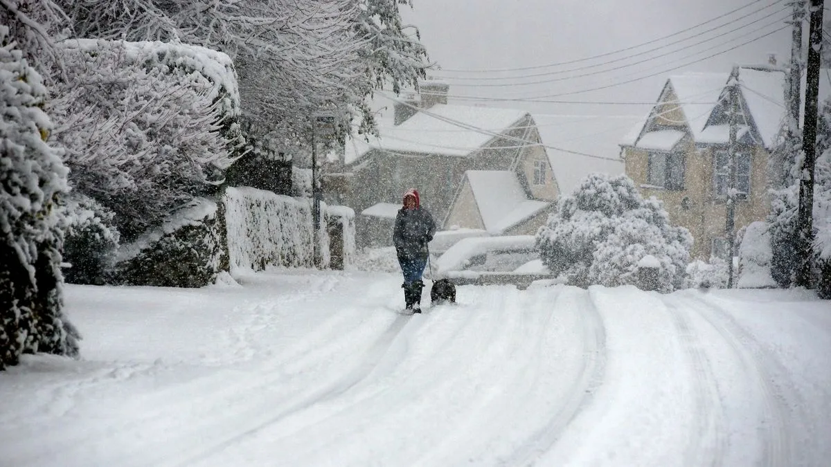
The United Kingdom is bracing for a significant and disruptive snow event in early January, with weather models predicting heavy accumulations and intense blizzard conditions for vast swathes of the country.
Widespread Snow Blanket Expected
According to the latest data from the ECMWF weather model, almost every region of the UK is set to be affected by snow between January 7 and 8. The forecast indicates that a series of wintry showers will consolidate into a major snowstorm, sweeping from the north down through England and Wales.
Only the very south of England appears likely to avoid seeing snow settle on the ground by midday on January 8. Major cities including London, Birmingham, Manchester, Cardiff, Liverpool, Leeds, Newcastle, Edinburgh, Glasgow, and Belfast are all in line for flurries.
Intense Blizzard Conditions Forecast
The most startling aspect of the forecast is the predicted intensity of the snowfall at its peak. Maps from WX Charts show that around midday on January 7, snow could fall at a rate of approximately four inches per hour in north-west England and North Wales.
A second wave of equally heavy snow is then expected to move eastwards across central and eastern England by 6am on January 8, again with potential rates of four inches per hour. Heavy snow is tracked to hit South Wales at midnight on the 7th, with the Midlands and south-west also affected.
Projected Snow Accumulations
Snow depth charts reveal the potential for substantial settling. The greatest accumulations are forecast for the far north of Scotland, where up to 48 centimetres (19 inches) could pile up.
Significant depths are also predicted for low-lying areas elsewhere:
- North-west England: Up to 37cm (11 inches)
- South Wales: Up to 18cm (7 inches)
- Northern Ireland: Up to 16cm (6 inches)
Met Office Issues Cold Health Alert
The national forecaster has aligned with the severe outlook. The Met Office's forecast for January 2 to 11 states that cold northerly winds will dominate, bringing wintry showers, often of snow, to exposed coastlines and inland areas.
It warns of "more coherent bands of rain, sleet and snow working south", which could bring prolonged wintry precipitation. In response to the looming cold snap, the UK Health Security Agency (UKHSA) has issued an amber cold health alert for the North East and North West of England, valid from 8pm on December 28 until 12pm on January 5.
The UKHSA warns the weather is likely to cause significant impacts on health and social care, including an increased risk of mortality for the vulnerable. Temperatures in these regions are expected to plummet to between 3°C and 5°C.
Residents across the UK are advised to monitor the latest forecasts and warnings from the Met Office and to prepare for potentially severe winter weather and travel disruption in the first full week of January.