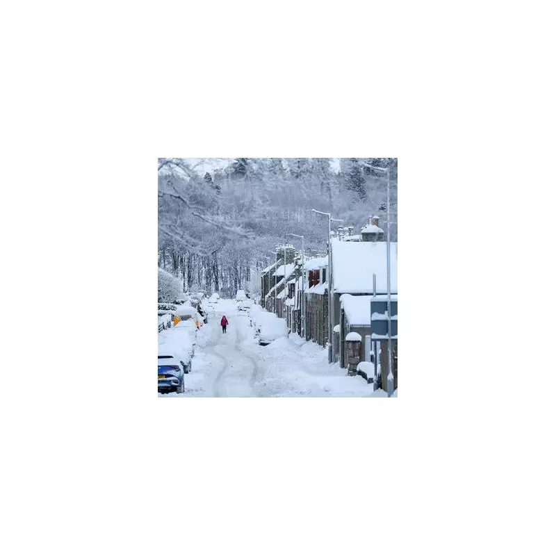
The United Kingdom is on high alert as a severe winter weather front sweeps across the nation, bringing blizzard conditions as far south as London and Birmingham. Forecasters warn of significant snow accumulations, with one area of Scotland facing a staggering 25 inches (65cm) of snowfall, while temperatures are predicted to plummet to a bone-chilling -11°C.
Nationwide Warnings as Snow Maps Turn Blue
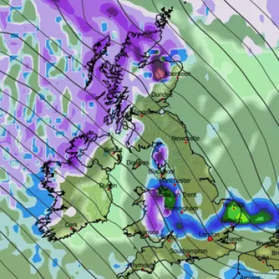
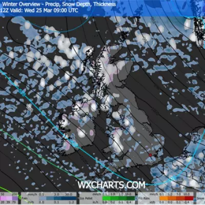
Weather mapping data from WXCharts, utilising MetDesk information, paints a stark picture for the coming days. The maps indicate that from the early hours of Tuesday, heavy snow will smother parts of Scotland, particularly impacting the Northern Highlands and the Isle of Skye with up to 65cm. Meanwhile, the icy snap will see snowfall reach major English cities including London, Birmingham, Manchester, and Newcastle by 6am.
The Met Office has responded by issuing a series of yellow weather warnings for snow and ice across numerous regions. Initially, four alerts were active for Monday, with a further five announced for Tuesday, highlighting the widespread nature of the impending disruption. The national forecaster cautions that the wintry conditions carry a serious risk of travel chaos, potential power cuts, and dangerous icy surfaces.
Met Office Forecast: A Week of Winter Hazards
According to the detailed forecast, Tuesday, January 6, will begin with wintry showers in parts of Wales and southwest England. Through the day, a mix of rain, sleet, and snow is expected to push southeastwards across Scotland and Northern Ireland, eventually reaching parts of Wales and England later on.
Matthew Lehnert, Chief Meteorologist at the Met Office, emphasised the ongoing risks: "The UK will continue to experience a range of winter weather hazards through this week, with low temperatures as well as snow showers and the risk of ice for many." He urged the public to stay updated as warnings are likely to be adjusted. The forecaster has also flagged the potential for disruptive snowfall in central and northern Scotland from late Tuesday morning until early evening.
Extended Outlook: Further Snow and Strong Winds
Looking beyond Tuesday, the cold conditions are set to persist. The Met Office predicts that frontal systems will continue to push in from the west, bringing a mixture of rain, sleet, and snow across the country at times, accompanied by a risk of strong winds.
In its longer-range forecast for the period from Saturday to Monday, January 19, the picture remains unsettled. Atlantic weather systems are expected to bring spells of rain, likely preceded by snow in some areas—especially in northern and eastern regions and over higher ground. Some significant snowfall remains possible in places. While temperatures may trend closer to average later in the period, particularly in the south, the threat of frost and wintry showers continues, with a hint of a return to more widely colder conditions towards the end.
Residents across the UK are advised to prepare for difficult travel conditions, check for school closures, and monitor the latest Met Office advice as this severe winter weather event unfolds.


