Millions of people across the United Kingdom could be waking up to a white post-Christmas period, with fresh weather data indicating a significant snow event is on the way. Forecast models now show a blizzard moving in from the East, threatening to blanket several major cities, including the capital, with several centimetres of snow between Christmas Day and New Year.
Snow Maps Pinpoint Major Cities in Firing Line
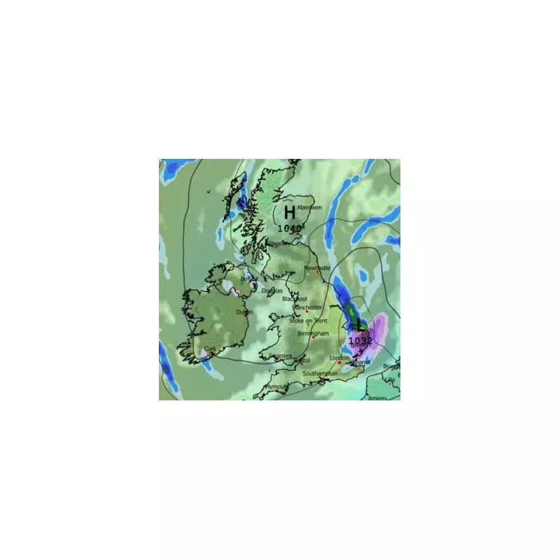
The detailed GDPS weather model charts the path of the impending wintry blast. It indicates that blizzards will begin to move across the UK from the East on Saturday, December 27. The initial impact is expected to be felt across southern and eastern regions first. Areas like East Anglia, including Norwich and Ipswich, could see the first flurries around midday.
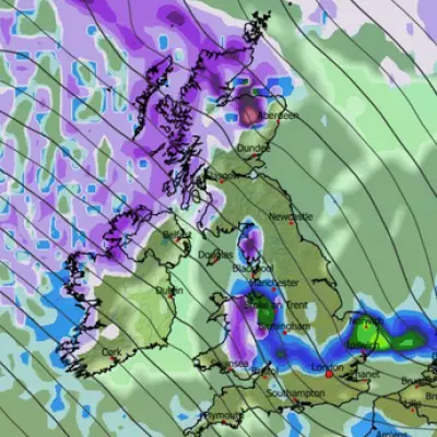
By the afternoon, the snow is forecast to push further west and south. Weather maps for 3pm show snow beginning to fall over Kent and London. Concurrently, the same weather front is predicted to bring rain to eastern coastal areas of both England and Scotland. As the day progresses into the evening, the snowfall is expected to persist. Maps for 6pm indicate snow continuing in London and reaching further south, potentially affecting cities like Southampton.
Widespread Snow Coverage Expected by Evening
The snow is not just a southern phenomenon. Further north, cities including Birmingham, Stoke-on-Trent, and Manchester could also experience flurries around 6pm. The system is then projected to extend its reach into Northern Ireland and Scotland. Snow coverage maps reveal the potential scale of this event, with accumulations likely across most of Northern Ireland, East Anglia, the Midlands, the south-east, and large parts of northern England.
While the Scottish Highlands are a prime candidate for snowfall, it could also reach Glasgow and regions closer to the English border. Crucially, the data suggests that up to 3 centimetres of snow could settle in the south-east of England, with London specifically mentioned.
Met Office Warns of Colder Feel and Wintry Showers
The national forecaster has aligned its outlook with the model data, warning of a marked drop in temperature in the coming days. The Met Office forecast for the period from December 23 to January 1 anticipates a shift towards more settled conditions as high pressure builds. However, this will come with a significant catch.
A strengthening easterly wind will develop over the Christmas period, making it feel noticeably colder than recent days. Although a lot of dry weather is expected, showers will remain possible, particularly in eastern and southern areas. The Met Office states these showers "may be wintry in places, more especially over high ground."
Temperatures are expected to trend below average, with a risk of frost, particularly in northern areas where winds will be lighter. As the nation approaches New Year, the weather pattern may shift again, potentially allowing wetter conditions to spread back into parts of the UK.


