
The Met Office has taken the dramatic step of issuing a rare amber weather warning for snow, putting parts of the United Kingdom on high alert for a major winter disruption.
An Arctic Blast from Siberia
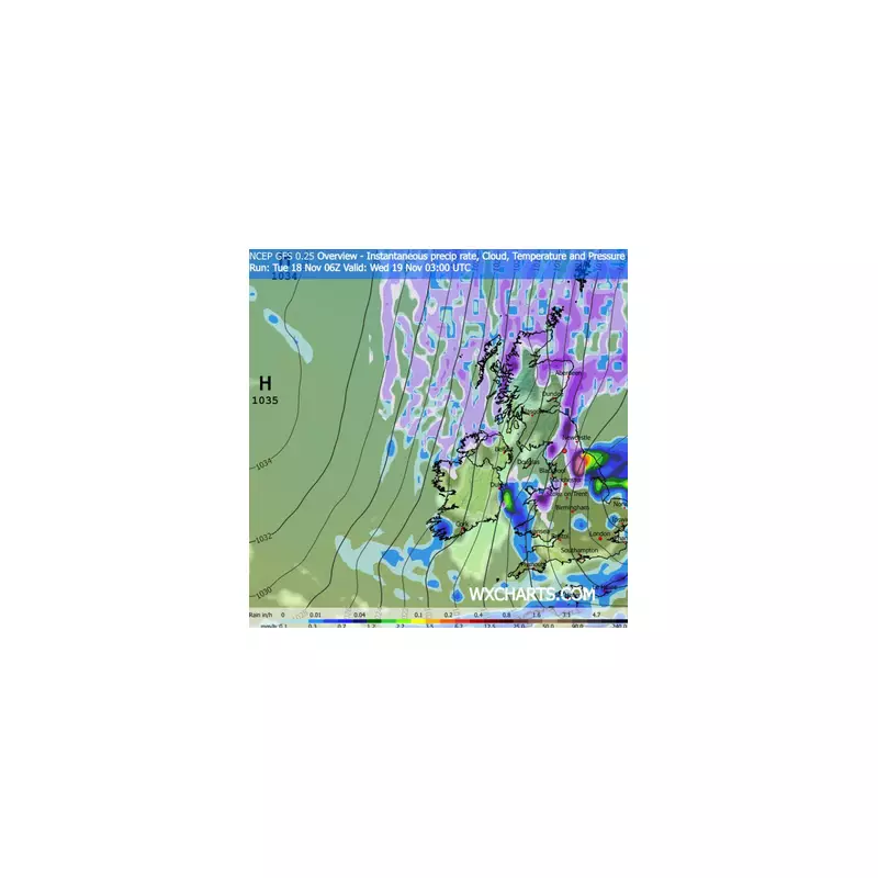
This significant cold snap is being driven by a frigid mass of air travelling all the way from Siberia, crossing the Arctic Ocean before descending upon the UK. Meteorologist Alex Burkill confirmed the origins of this severe weather system. The forecast for the next seven days is described as “markedly colder” by the Met Office, with a “harsh frost” expected to develop later in the week.
Sub-Zero Temperatures and Heavy Snowfall
The most severe conditions are predicted for Wednesday, with weather maps indicating the mercury could plunge to a bone-chilling -10°C in parts of Scotland. Alongside the extreme cold, the amber warning signals the potential for heavy snow blizzards, with some areas bracing for up to 10 inches of accumulation. This has raised concerns for travel chaos and potential power outages.

Widespread Weather Warnings in Place
In addition to the critical amber alert, multiple yellow weather warnings for snow and ice are active across the country. This layered warning system highlights the extensive nature of this cold spell and its potential impact on daily life for millions of Britons. The public is advised to stay tuned to the latest forecasts and travel advice as the situation develops.


