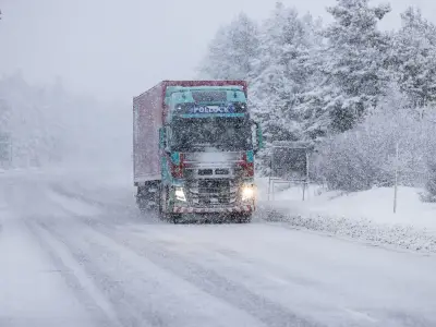
New weather maps indicate that large parts of northern UK could see significant snowfall in early December, with up to three inches possible in some areas. The snow is forecast to begin from midnight on Thursday, December 3.
The maps, produced by Netweather, show red areas where up to three inches of snow could settle, yellow areas where up to two inches could fall, and green areas where up to one inch is possible.
Forecast for late November and early December
According to Netweather, between November 30 and December 6, high pressure is expected to remain extensive to the north of Britain and may extend towards Greenland. The week is expected to start relatively mild and wet for most, with a chance of colder, drier weather developing, particularly in the north, with wintry showers near north and east-facing coasts.
This could bring fairly widespread snowfall, especially in the north, when frontal systems push in from the south-west and collide with the cold air mass, though any snow will probably be short lived at low levels. There is a substantial chance of southern Britain staying in relatively mild air throughout the week.
Regional variations and areas at risk
The week is forecast to be milder than average in the south, but probably colder than average overall in Scotland and northern England. It is expected to be wetter than average in most parts of England and Wales, particularly the south, but drier than average in northern and western Scotland. Sunshine will probably be above normal in most parts of Scotland, but below normal over most of England and Wales and Northern Ireland.
Areas at risk of snow include much of England, from Bedfordshire and Berkshire to Northumberland and Yorkshire, as well as parts of Scotland including Highland, Moray, and Perth and Kinross. In Wales, areas such as Gwynedd, Powys, and Conwy are listed, and in Northern Ireland, all counties including Antrim, Armagh, Down, Londonderry, and Tyrone are at risk.
Met Office outlook for December
For the start of December, the Met Office says bands of rain will move in from the Atlantic at times, making erratic and uncertain eastward progress across the UK. These systems may also bring occasional strong winds. Either side of bands of rain a mixture of clear/sunny spells and showers is expected.
Often rather cold in northern areas which could allow precipitation to fall as snow at times, mainly over hills. Generally milder in the south though still potential for some cold nights in clearer spells. Through late November, there is an increasing chance that high pressure will start to have more influence bringing more settled conditions, particularly across the north, with southern areas remaining more prone to milder and wetter weather.