
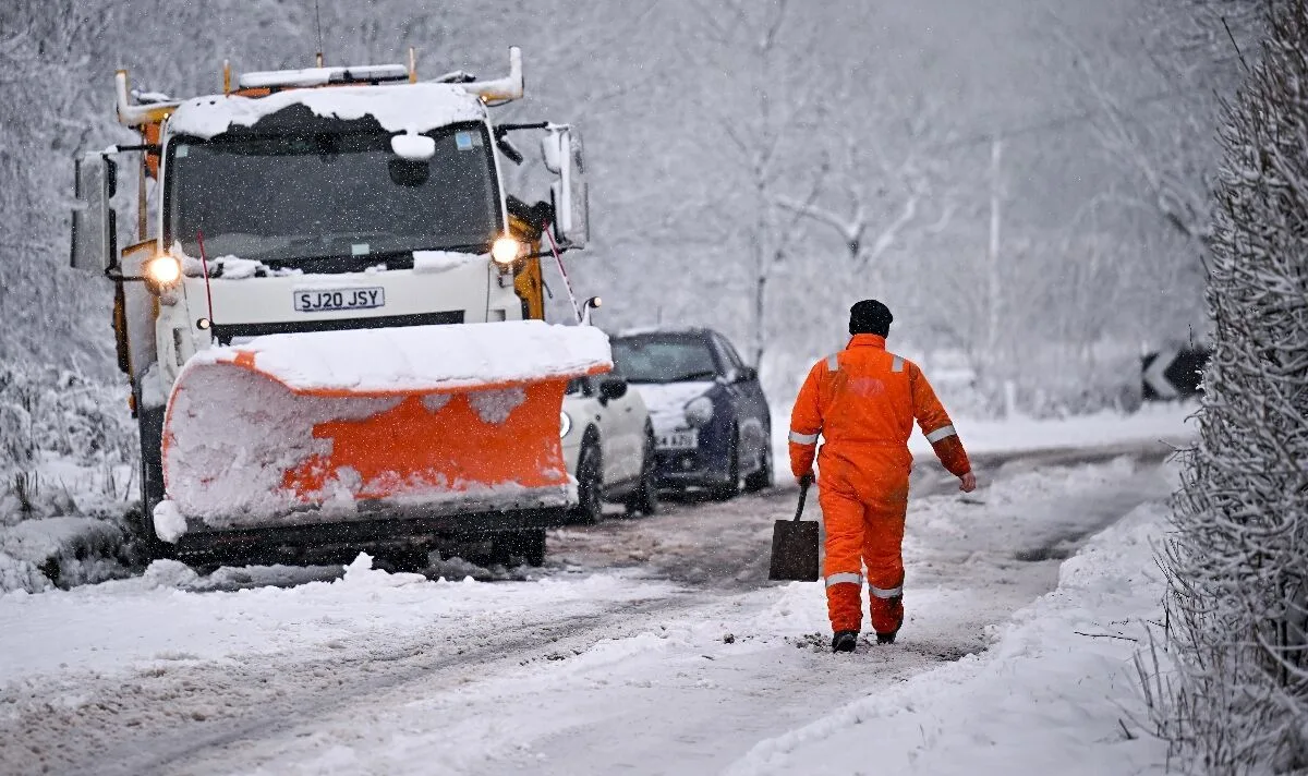
The UK is bracing for its coldest spell of the winter as an Arctic cold front is set to bring temperatures as low as -10°C and widespread snow. The Met Office has issued yellow weather warnings for snow, ice, and wind, with potential travel disruption and risks of injuries from slips and falls on icy surfaces.
Weather expert Phil Morrish warned that the Arctic front will arrive on Sunday morning, bringing cold Arctic air that will push south across the country and last for five days until Friday, January 19. Daytime temperatures across most of the UK will be below freezing to 2-3°C on the south coast, while night-time temperatures will range from -3°C to -10°C, with some glens in Scotland potentially dropping to -15°C.
Snowfall is expected to be significant, with 10-30cm on higher ground in northern Scotland and 2-5cm in lower areas north of the border. The snow will spread southwards to northern England, the northwest coast, the Cheshire Gap, Staffordshire, and the West Midlands. On the eastern side, snow showers will move through the Yorkshire coast down to East Anglia.
The Met Office has issued warnings for snow and ice on Sunday and Monday across Aberdeen, Aberdeenshire, Moray, the Highlands, Eilean Siar, Orkney, and Shetland. A separate yellow warning for snow and ice applies from 3am Monday in Northern Ireland, where showers will increasingly fall as snow, causing disruption.
There is a 30% risk of more persistent snow from the south on Wednesday, potentially affecting southern coastal counties. Mr Morrish noted that next weekend may bring milder Atlantic air, possibly preceded by snow, with wet and windy weather returning from Saturday.




