
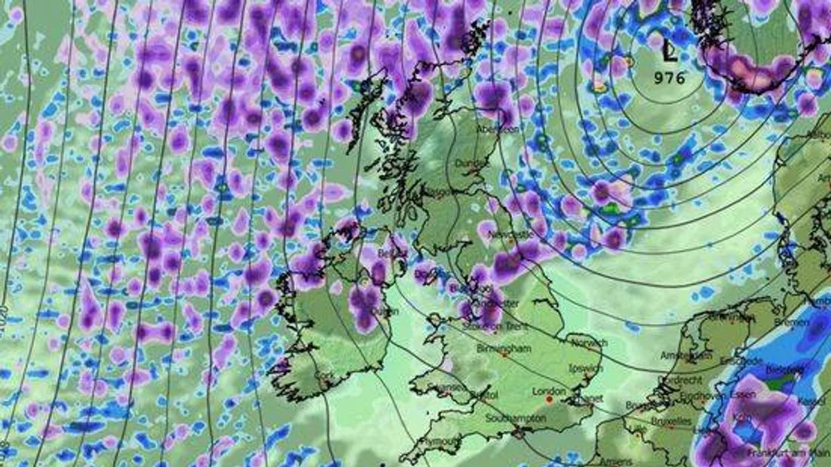
The UK is set to experience up to 90 hours of snowfall over the next two weeks, stretching from Inverness to Cornwall, according to weather maps from WXCharts. The snow is expected to arrive from the Atlantic, initially hitting Scotland before sweeping across the nation.
Light snowfall is forecast for Aberdeen on January 4, with the main onslaught beginning on January 5 in Scotland and spreading to England. Near Dundee, up to one inch of snow per hour is predicted, moving towards Glasgow by early morning. By 6pm, England will be affected, with snow drifting south along the west coast from Cumbria to Manchester, though at a lighter rate.
A brief respite on January 6 will see concentrated snow mainly in northern Scotland and Blackpool, but another wave is forecast to strike at midnight, leading into January 7. Less than one inch per hour could fall over Blackpool, Manchester, Yorkshire, and northern Scotland. By 6am, the weather front will shift to blanket Lincolnshire and parts of Yorkshire with around one inch of snow, while Aberdeen and central Wales receive a light dusting.
By noon on January 7, the system will reach Cornwall with a very light dusting. In eastern regions, Norfolk could see approximately one inch of snow per hour. By 6pm, England will be mostly dry, with scattered light showers north of London, while Scotland will be entirely blanketed from north to Glasgow with around one inch per hour. By midnight, Cumbria, Northumberland, and Manchester could be at risk, with less than an inch of snow per hour, potentially leading to icy conditions on January 8 as temperatures plummet below freezing.
The Met Office offers a different forecast, predicting settled and mainly dry conditions for much of the UK in the first week of January, but acknowledges a small chance of more unsettled, wetter, and milder weather developing, particularly in the north.




